Explore Historic Downtown
| — | Herbert Hoover National Historic Site | — |
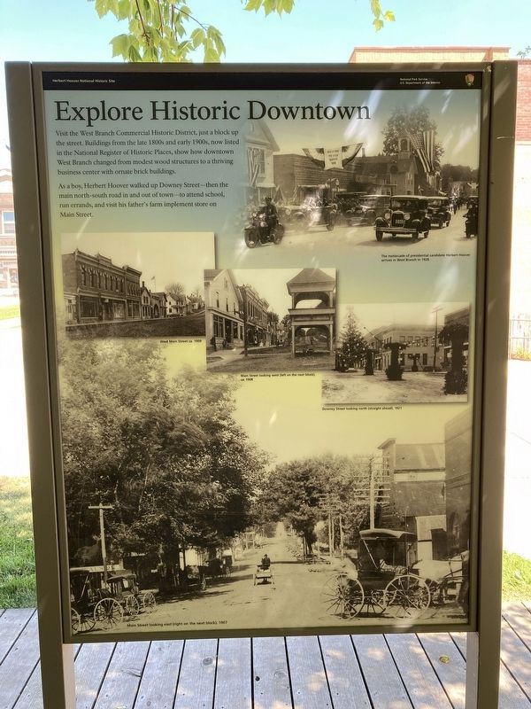
As a boy, Herbert Hoover walked up Downey Street—then the main north-south road in and out of town—to attend school, run errands, and visit his father’s farm implement store on Main Street.
Photo captions:
West Main Street ca. 1909
Main Street looking west (left on the next block), ca. 1908
Downey Street looking north (straight ahead), 1921
The motorcade of presidential candidate Herbert Hoover arrives in West Branch in 1928.
Main Street looking east (right on the next block), 1907
Erected by National Park Service, US Department of the Interior.
Topics. This historical marker is listed in this topic list: Settlements & Settlers. A significant historical year for this entry is 1909.
Location. 41° 40.258′ N, 91° 20.795′ W. Marker is in West Branch, Iowa, in Cedar County. It is at the intersection
this page online

Regionally, this marker is in Eastern Iowa. It is also in the American Midwest and in the Corn Belt. Globally, it is in North America, the Western Hemisphere, the Western World, and the Anglosphere. Historically, it finds itself in what was once the territory of the Mississippian Culture and also the Louisiana Purchase.
Other nearby markers. At least 8 other markers are within walking distance of this marker: A President's Rural Roots (here, next to this marker); Laban Miles House (a few steps from this marker); A World of Opportunity (a few steps from this marker); Garvin House (a few steps from this marker); Leech House (within shouting distance of this marker); Varney House (within shouting distance of this marker); a different marker also named C.E. Smith House (within shouting distance of this marker); a different marker also named A World of Opportunity (within shouting distance of this marker). Touch for a list and map
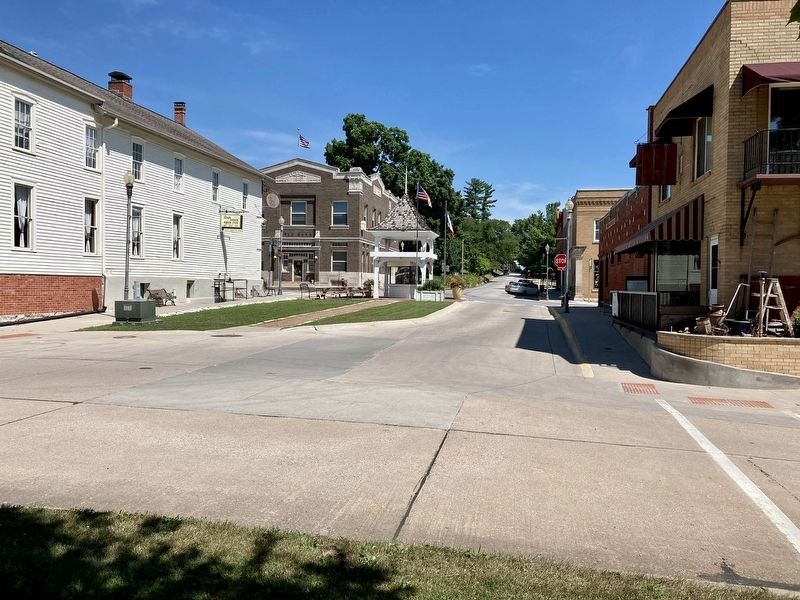
Other markers no longer nearby. The Laban Miles House (was a few steps from this marker but has been replaced with another marker now near it); The Amanda Garvin Cottage (was a few steps from this marker but has been replaced with another marker now near it); The Dr. Leech House (was within shouting distance of this marker but has been replaced with another marker now near it); The C.E. Smith House (was within shouting distance of this marker but has been replaced with another marker now near it); The Hannah Varney House (was within shouting distance of this marker but has been replaced with another marker now near it).
Credits. This page was last revised on December 16, 2020. It was originally submitted on December 15, 2020, by Connor Olson of Menomonee Falls, Wisconsin. This page has been viewed 425 times since then and 32 times this year. Photos: 1, 2. submitted on December 15, 2020, by Connor Olson of Menomonee Falls, Wisconsin. • Mark Hilton was the editor who published this page.
Editor’s want-list for this marker. A wide shot of the marker and its surroundings. • • Can you help?
