Waterloo in Merrimack County, New Hampshire — The American Northeast (New England)
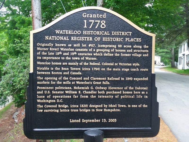
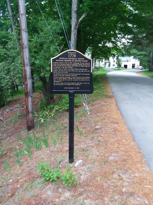
Waterloo Historical District
Granted 1778
— National Register Of Historic Places —
Originally known as mill lot #67, (comprising 60 acres along the Warner River) Waterloo consists of a grouping of houses and structures of the late 18th and 19th centuries which define the former village and its importance to the town of Warner.
Waterloo homes are mainly of the Federal, Colonial or Victorian style. Notable is the Bean Tavern (circa 1794) on the main stage coach route between Boston and Canada.
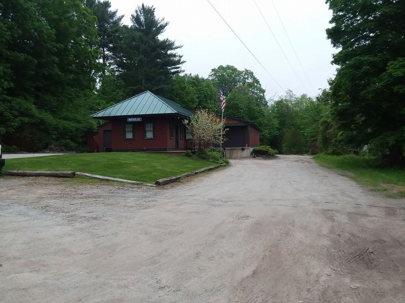
The opening of the Concord and Claremont Railroad in 1849 expanded markets for the mills at Waterloo's Great Falls.
Prominent politicians. Nehemiah G. Ordway (Governor of the Dakotas) and U.S. Senator William B. Chandler both purchased homes here as a base of operations far from the intensity of political life in Washington D.C.
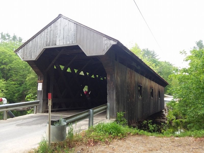
The Covered Bridge. (circa 1820) designed by Ithiel Town, is one of the few surviving lattice truss bridges in New Hampshire.
Erected 2003.
Topics. This historical marker is listed in this topic list: Notable Places. A significant historical date for this entry is September 13, 2003.
Location. 43° 17.333′ N, 71° 51.283′ W. Marker is in Waterloo, New Hampshire, in Merrimack County. Marker is at the intersection of Waterloo Street and Newmarket Road, on the left when traveling west on Waterloo Street. Touch for map. Marker is in this post office area: Warner NH 03278, United States of America. Touch for directions.
Other nearby markers. At least 8 other markers are within 11 miles of this marker, measured as the crow flies. John Sargent Pillsbury (approx. 4˝ miles away); Hotels and Camps (approx. 6.7 miles away); New England College Covered Bridge (approx. 7.9 miles away); Contoocook Railroad Bridge and Depot (approx. 8.4 miles away); Woodwell's Garrison 1744 (approx. 9.1 miles away); Newbury NH Veteran's Memorial (approx. 9.4 miles away); Center Meeting House, Newbury (approx. 9.4 miles away); Potter Place (approx. 10.3 miles away).
Also see . . . Waterloo Covered Bridge. YouTube video by the contributor. (Submitted on December 16, 2020, by Craig Doda of Napoleon, Ohio.)
Credits. This page was last revised on December 19, 2020. It was originally submitted on December 16, 2020, by Craig Doda of Napoleon, Ohio. This page has been viewed 169 times since then and 28 times this year. Photos: 1, 2, 3, 4. submitted on December 16, 2020, by Craig Doda of Napoleon, Ohio. • Michael Herrick was the editor who published this page.


