Key Facts about Pulpit Rock Tower
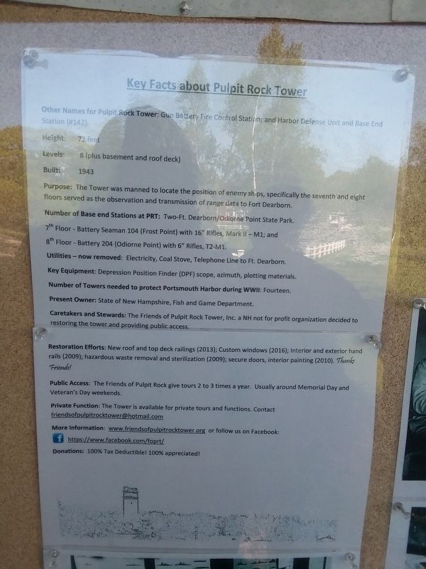
Other Names for Pulpit Rock Tower: Gun Battery Fire Control Station; and Harbor Defense Unit and Base End Station (#142).
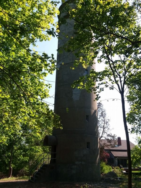
Height: 73 feet
Levels: 8 (plus basement and roof deck)
Built: 1943
Purpose: The Tower was manned to locate the position of enemy ships, specifically the seventh and eight floors served as the observation and transmission of range data to Fort Dearborn.
Number of Base end Stations at PRT: Two-Ft. Dearborn/Odiorne Point State Park.
7th Floor - Battery Seaman 104 (Frost Point) with 16” Rifles, Mark II - M1; and
8th Floor - Battery 204 (Odiorne Point) with 6” Rifles, T2-M1.
Utilities - now removed: Electricity, Coal Stove, Telephone Line to Ft. Dearborn.
Key Equipment: Depression Position Finder (DPF) scope, azimuth, plotting materials.
Number of Towers needed to protect Portsmouth Harbor during WWII: Fourteen.
Present Owner: State of New Hampshire, Fish and Game Department.
Caretakers and Stewards: The Friends of Pulpit Rock Tower, Inc. a NH not for profit organization decided to restoring the tower and providing public access.
Restoration Efforts: New roof and top deck railings (2013); Custom windows (2016); Interior and exterior hand rails
(2009); hazardous waste removal and sterilization (2009); secure doors, interior painting (2010). Thanks Friends!( photo 2 )
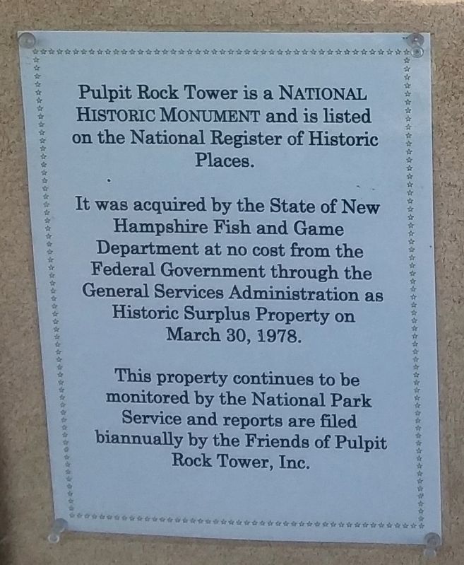
Pulpit Rock Tower is a National Historic Monument and is listed on the National Register of Historic Places.
It was acquired by the State of New Hampshire Fish and Game Department at no cost from the Federal Government through the General Services Administration as Historic Surplus Property on March 30, 1978.
This property continues to be
monitored by the National Park
Service and reports are filed
biannually by the Friends of Pulpit
Rock Tower, Inc.
Erected by Friends of Pulpit Rock Tower.
Topics. This historical marker is listed in this topic list: War, World II. A significant historical date for this entry is March 30, 1978.
Location. 43° 2′ N, 70° 43.217′ W. Marker is in Rye, New Hampshire, in Rockingham County. Marker is at the intersection of Davis Road and Neptune Drive, on the right when traveling east on Davis Road. Touch for map. Marker is in this post office area: Rye NH 03870, United States of America. Touch for directions.
Other nearby markers. At least 8 other markers are within 3 miles of this marker, measured as the crow flies. Pulpit Rock Fire Control Tower (a few steps from this marker); New Isles of Shoals Marker (approx. 2˝ miles away); Isles Of Shoals (approx. 2˝ miles away); William and Mary Raids
Also see . . . Pulpit Rock Tower. (Submitted on December 20, 2020, by Michael Herrick of Southbury, Connecticut.)
Credits. This page was last revised on December 20, 2020. It was originally submitted on December 16, 2020, by Craig Doda of Napoleon, Ohio. This page has been viewed 181 times since then and 29 times this year. Photos: 1, 2, 3, 4. submitted on December 16, 2020, by Craig Doda of Napoleon, Ohio. • Michael Herrick was the editor who published this page.


