Oak Park in Sacramento in Sacramento County, California — The American West (Pacific Coastal)
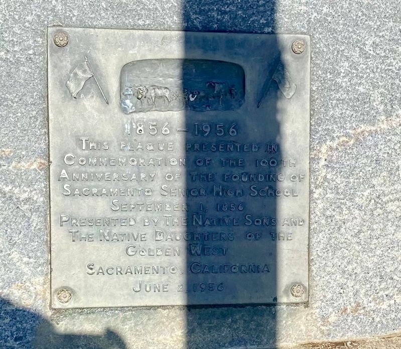
Sacramento High School
1856 - 1956
September 1, 1856
Erected 1956 by Native Sons of the Golden West, Native Daughters of the Golden West.
Topics and series. This historical marker is listed in this topic list: Education. In addition, it is included in the Native Sons/Daughters of the Golden West series list.
Location. 38° 33.334′ N, 121° 28.049′ W. Marker is in Sacramento, California, in Sacramento County. It is in Oak Park. Marker is at the intersection of 34th Street and Y Street, on the right when traveling north on 34th Street. Touch for map. Marker is at or near this postal address: 2315 34th Street, Sacramento CA 95817, United States of America. Touch for directions.
Other nearby markers. At least 8 other markers are within one mile of this marker, measured as the crow flies. General Albert M. Winn (approx. 0.9 miles away); Dr. Benjamin F. Pendery (approx. 0.9 miles away); Re-Internment Site For New Helvetia Cemetery (approx. 0.9 miles away); Daniel Blue (approx. 0.9 miles away); You Are Remembered – Rest In Peace (approx. 0.9 miles away); Joseph H. McKinney (approx. 0.9 miles away); September 11, 2001 (approx. one mile away); Site of the Ridge Home - Sacramento's First Mercy Hospital (approx. one mile away). Touch for a list and map of all markers in Sacramento.
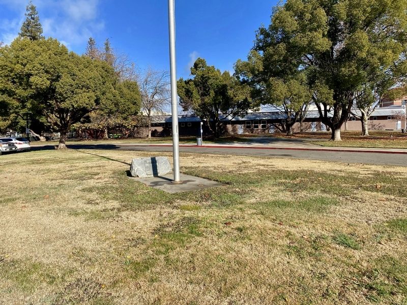
More about this marker. The marker is mounted to a low rock adjacent to the flagpole on the grounds of what is now the St. Hope Charter School.

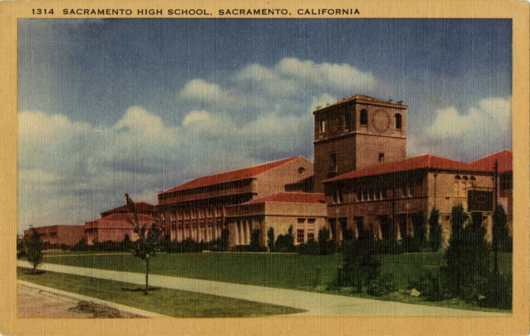
Postcard image courtesy of Sacramento Public Library, Sacramento Room, 1940
3. Sacramento High School, Sacramento, California
"...Before the current location on 34th Street was occupied Sacramento High School was located in several locations downtown, sharing space with lower grades at the Franklin Grammar School at Sixth and L Streets from 1858 until 1865. From 1865 until 1876 high school students attended class in temporary quarters until the first real Sacramento High School opened at Ninth and M Streets. Students continued to attend school at this location until 1908. As a result of over-crowded classrooms students were sent to the Sutter Junior High School building at 19th and K Streets until the current structure was dedicated on November 12, 1924. In 1973 the tower on the right was deemed an earthquake hazard and razed, and in 2003 Sacramento High entered a new phase as a charter school." - Sacramento Public Library
Credits. This page was last revised on February 7, 2023. It was originally submitted on December 16, 2020, by Andrew Ruppenstein of Lamorinda, California. This page has been viewed 174 times since then and 30 times this year. Photos: 1, 2, 3. submitted on December 16, 2020, by Andrew Ruppenstein of Lamorinda, California.

