Lecompton in Douglas County, Kansas — The American Midwest (Upper Plains)
Democratic Headquarters
Photographed by Mike Wintermantel, June 21, 2018
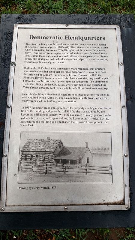
1. Democratic Headquarters Marker
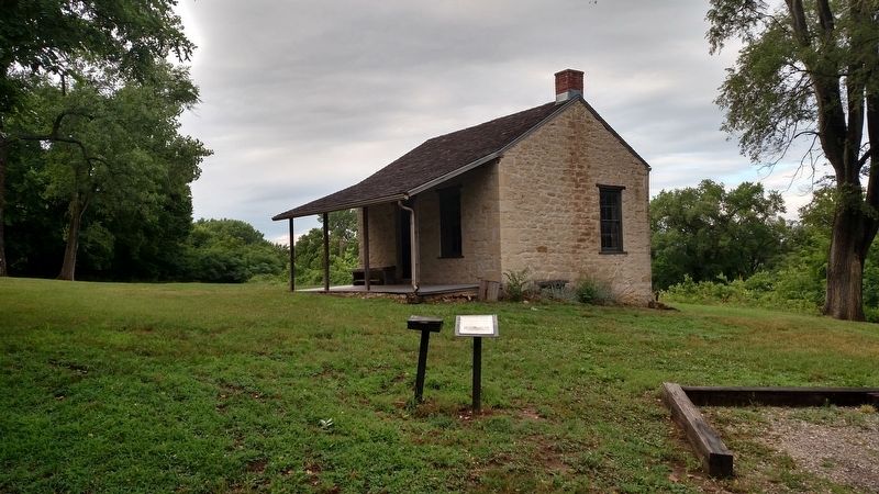
Built in the 1850s by Italian stonemason Mark Migliario, this structure was attached to a log cabin that has since disappeared. It may have been the residence of William Simmons and his son Thomas. In 1853 the Simmons traveled from Indiana to this place where they "squatted” a year before Kansas Territory legally was open for settlement. The Simmonses made their living on the Kaw River, where they fished and operated the Fairy Queen, a twenty-foot ferry made from hollowed-out sycamore logs.
Later this building's function changed from politics to commerce when it was acquired by the Atchison, Topeka and Santa Fe Railroad, which for many years used the building as a pay station.
In 1997 Pat and Aurelia Istas purchased the property and began a reclamation of the building and grounds. In 1998 the site was acquired by the Lecompton Historical Society. With the assistance of many generous individuals, businesses, and organizations, the Lecompton Historical Society has restored the building and established the Historic Lecompton River View Park.
Topics. This historical marker is listed in this topic list: Notable Buildings. A significant historical year for this entry is 1853.
Location. 39° 2.907′ N, 95° 23.485′ W. Marker is in Lecompton, Kansas, in Douglas County. It is on East Second Street 0.1 miles east of Haldeman Street, on
this page online

Regionally, this marker is in Eastern Kansas and specifically in Bleeding Kansas Border War Country. It is also in the American Midwest, in the Corn Belt, on the prairies, on the Southern Plains, and on the Santa Fe Trail Corridor. Globally, it is in North America, the Western Hemisphere, the Western World, and the Anglosphere. Historically, it finds itself in what was once the Louisiana Purchase.
Other nearby markers. At least 8 other markers are within 3 miles of this marker, measured as the crow flies: Lane University (approx. ¼ mile away); Sheriff Samuel J. Jones (approx. ¼ mile away); Lecompton Constitution Hall (approx. ¼ mile away); Veterans Monument (approx. ¼ mile away); The Battle of Fort Titus (approx. 0.3 miles away); Historic Lecompton (approx. 0.3 miles away); Resilience (approx. 0.3 miles away); Kansa Indians (approx. 2.8 miles away). Touch for a list and map of all markers in Lecompton.
Photographed by Mike Wintermantel, June 21, 2018
2. Democratic Headquarters Marker
Photographed by Mike Wintermantel, June 21, 2018
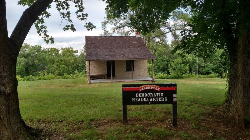
3. Democratic Headquarters
Credits. This page was last revised on December 17, 2020. It was originally submitted on December 17, 2020, by Mike Wintermantel of Pittsburgh, Pennsylvania. This page has been viewed 318 times since then and 25 times this year. Photos: 1, 2, 3. submitted on December 17, 2020, by Mike Wintermantel of Pittsburgh, Pennsylvania.
