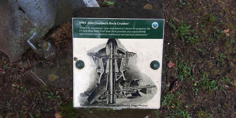
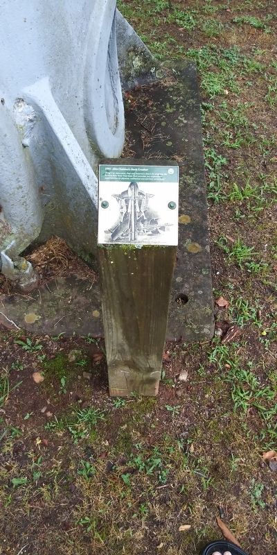
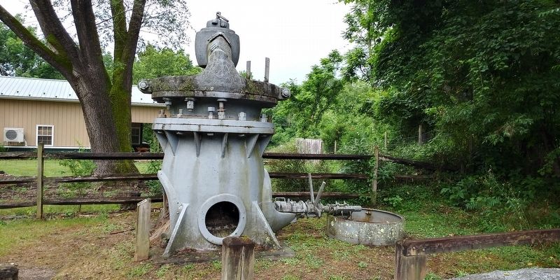
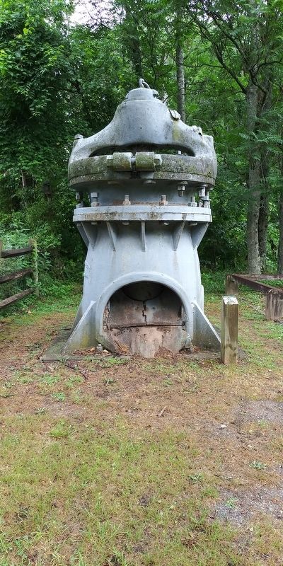
1901 Allis Chalmers Rock Crusher
Diagram Courteous of Quarries and Beyond, Peggy Perazzo
Topics. This historical marker is listed in this topic list: Industry & Commerce. A significant historical year for this entry is 1901.
Location. 36° 50.333′ N, 80° 57.217′ W. Marker is in Ivanhoe, Virginia, in Wythe County. Marker is on Virginia Route 639, on the right when traveling north. Touch for map. Marker is in this post office area: Ivanhoe VA 24350, United States of America. Touch for directions.
Other nearby markers. At least 8 other markers are within 5 miles of this marker, measured as the crow flies. Ivanhoe (within shouting distance of this marker); Ivanhoe Furnace (about 500 feet away, measured in a direct line); a different marker also named Ivanhoe Furnace (about 700 feet away); Wythe County / Carroll County (approx. 0.9 miles away); To Mark The Site of The Lead Mines (approx. 1.8 miles away); Stephen Fuller Austin (approx. 2.2 miles away); Powering a Community (approx. 3.8 miles away); Fincastle County (approx. 4.3 miles away). Touch for a list and map of all markers in Ivanhoe.
Credits. This page was last revised on January 4, 2021. It was originally submitted on December 20, 2020, by Craig Doda of Napoleon, Ohio. This page has been viewed 497 times since then and 72 times this year. Photos: 1, 2, 3, 4. submitted on December 20, 2020, by Craig Doda of Napoleon, Ohio. • Bill Pfingsten was the editor who published this page.


