San Felipe in Austin County, Texas — The American South (West South Central)
San Felipe de Austin Colonial Well
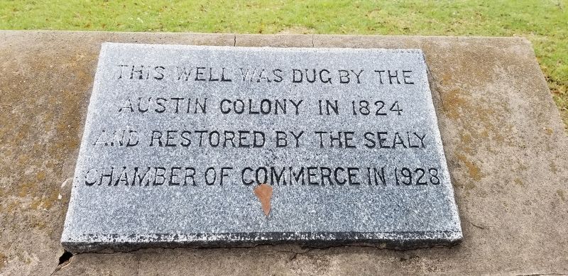
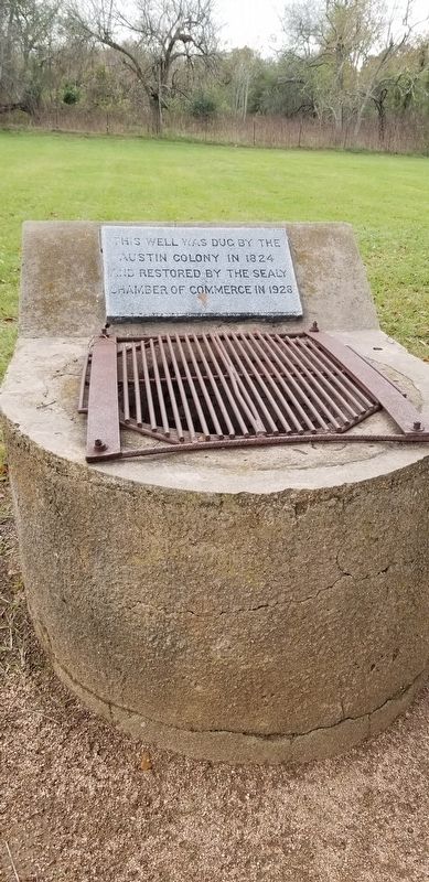
This well was dug by the Austin Colony in 1824 and restored by the Sealy Chamber of Commerce in 1928
Erected 1928 by Sealy Chamber of Commerce.
Topics. This historical marker is listed in this topic list: Settlements & Settlers. A significant historical year for this entry is 1824.
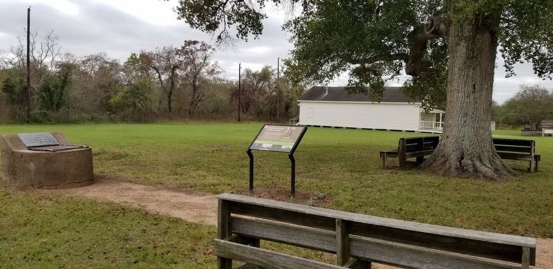
Location. 29° 48.411′ N, 96° 5.879′ W. Marker is in San Felipe, Texas, in Austin County. Marker can be reached from Farm to Market Road 1458, 0.1 miles north of Park Road 38. The historical marker is located in the San Felipe de Austin State Historic Site. Touch for map. Marker is in this post office area: San Felipe TX 77473, United States of America. Touch for directions.
Other nearby markers. At least 8 other markers are within walking distance of this marker. Stephen F. Austin, Father of Texas (here, next to this marker); Welcome to San Felipe de Austin (a few steps from this marker); San Felipe de Austin Town Site (a few steps from this marker); Remembering San Felipe de Austin (within shouting distance of this marker); Austin's Colony: First Colony in Mexican Texas (within shouting distance of this marker); Early Roads To San Felipe (within shouting distance of this marker); J.J. Josey General Store (within shouting distance of this marker); Stephen Fuller Austin (within shouting distance of this marker). Touch for a list and map of all markers in San Felipe.
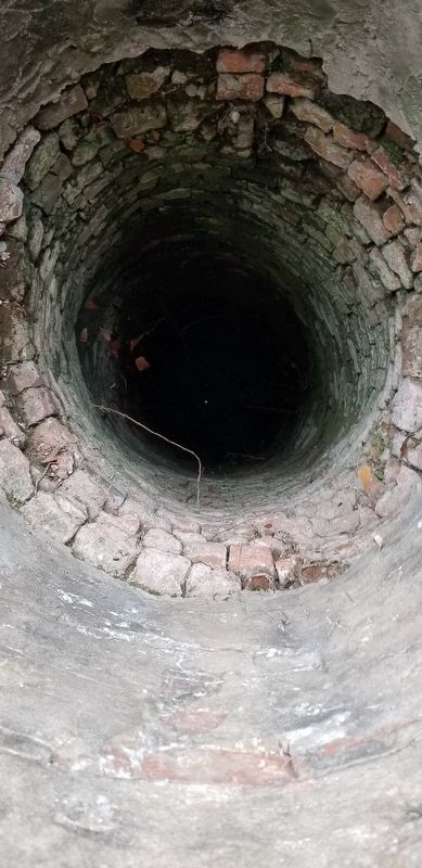
Regarding San Felipe de Austin Colonial Well. The brick-lined well - encased for protection in 1928 - was dug near Commerce Square to serve the Whitesides Hotel. Today it stands as the last architectural remnant of colonial San Felipe.
Whitesides Hotel - in the late 1820s, Austin modified his original cabin to a two-story structure and rented it as an inn, which was generally known as the Whitesides Hotel. The inn hosted fiery public meetings as the colonists debated whether to rebel against the Mexican government in mid-1835. Robert M. Williamson, known as "Three-Legged Willie" due to his peg leg, led one of the meetings in San Felipe in June 1835. Source: San Felipe de Austin State Historical Site - Texas Historical Commission
Credits. This page was last revised on October 12, 2021. It was originally submitted on December 21, 2020, by James Hulse of Medina, Texas. This page has been viewed 193 times since then and 15 times this year. Photos: 1, 2, 3, 4. submitted on December 21, 2020, by James Hulse of Medina, Texas. • J. Makali Bruton was the editor who published this page.


