Seward in Minneapolis in Hennepin County, Minnesota — The American Midwest (Upper Plains)
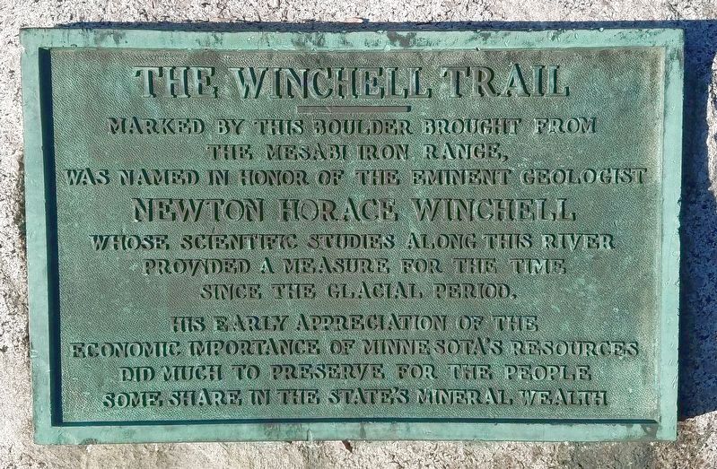
The Winchell Trail
the Mesabi Iron Range,
was named in honor of the eminent geologist
Newton Horace Winchell
whose scientific studies along this river
provided a measure for the time
since the glacial period.
His early appreciation of the
economic importance of Minnesota's resources
did much to preserve for the people
some share in the state's mineral wealth
Topics. This historical marker is listed in this topic list: Natural Resources.
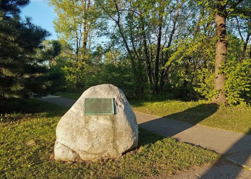
Location. 44° 57.744′ N, 93° 13.469′ W. Marker is in Minneapolis, Minnesota, in Hennepin County. It is in Seward. Marker is at the intersection of Franklin Avenue and West River Parkway, on the right when traveling east on Franklin Avenue. Marker is along the bike path leading south from Franklin Avenue. Touch for map. Marker is in this post office area: Minneapolis MN 55406, United States of America. Touch for directions.
Other nearby markers. At least 8 other markers are within walking distance of this marker. Bridging the Mississippi (approx. 0.7 miles away); Prospect Park Water Tower (approx. 0.7 miles away); The CM&StP & the South Side (approx. ¾ mile away); Women in Science & Medicine (approx. ¾ mile away); Milwaukee Avenue Historic District (approx. ¾ mile away); Academic Health Center (approx. ¾ mile away); Murphy Square (approx. 0.8 miles away); Coffman Memorial Union (approx. 0.9 miles away). Touch for a list and map of all markers in Minneapolis.
Also see . . . Winchell Trail on Wikipedia. (Submitted on December 24, 2020, by McGhiever of Minneapolis, Minnesota.)
Additional keywords. Mississippi River, geology
Credits. This page was last revised on February 12, 2023. It was originally submitted on December 24, 2020, by McGhiever of Minneapolis, Minnesota. This page has been viewed 126 times since then and 8 times this year. Photos: 1, 2. submitted on December 24, 2020, by McGhiever of Minneapolis, Minnesota. • Mark Hilton was the editor who published this page.

