Glendive in Dawson County, Montana — The American West (Mountains)
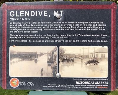
Glendive, MT
August 18, 1912
Glendive was accustomed to ice jam flooding but, according to the Yellowstone Monitor, it was the city's first experience with flooding from a cloudburst.
Farmers reported little damage as grain had already been cut and threshing had already begun.
Silver Jackets brings together federal, state, and local agencies to collaborate in reducing flood risk. To learn more about Montana's flood history and how you can prepare your family visit flood risk.mt.gov/
Erected by Montana Silver Jackets.
Topics. This historical marker is listed in these topic lists: Disasters • Settlements & Settlers. A significant historical date for this entry is August 18, 1912.
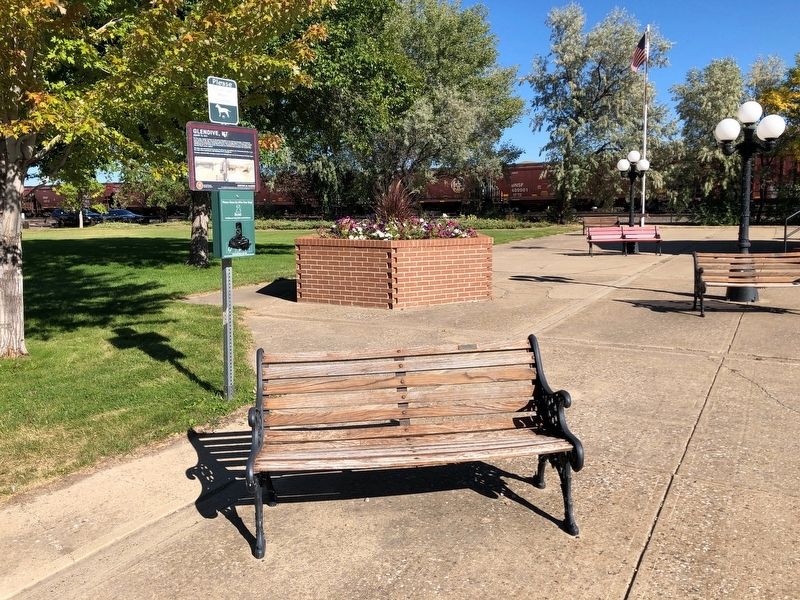
Location. 47° 6.18′ N, 104° 42.862′ W. Marker is in Glendive, Montana, in Dawson County. Marker is on South Merrill Avenue near West Valentine Street, on the right when traveling north. The marker is located in "Our Park.". Touch for map. Marker is at or near this postal address: 209 South Merrill Avenue, Glendive MT 59330, United States of America. Touch for directions.
Other nearby markers. At least 8 other markers are within walking distance of this marker. The Price (a few steps from this marker); Henry Dion Building (about 400 feet away, measured in a direct line); Dion Brothers Building (about 400 feet away); 107 West Bell Street (about 500 feet away); J.C. Penney Store (about 600 feet away); Dion Building / Exchange Bank (about 600 feet away); Dawson County World War Memorial (about 700 feet away); First Methodist Episcopal Church and Parsonage (approx. 0.2 miles away). Touch for a list and map of all markers in Glendive.
Credits. This page was last revised on December 28, 2020. It was originally submitted on December 28, 2020, by Barry Swackhamer of Brentwood, California. This page has been viewed 138 times since then and 23 times this year. Photos: 1, 2. submitted on December 28, 2020, by Barry Swackhamer of Brentwood, California.

