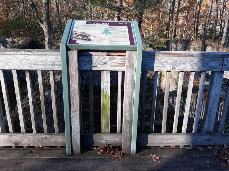
River Ran Black
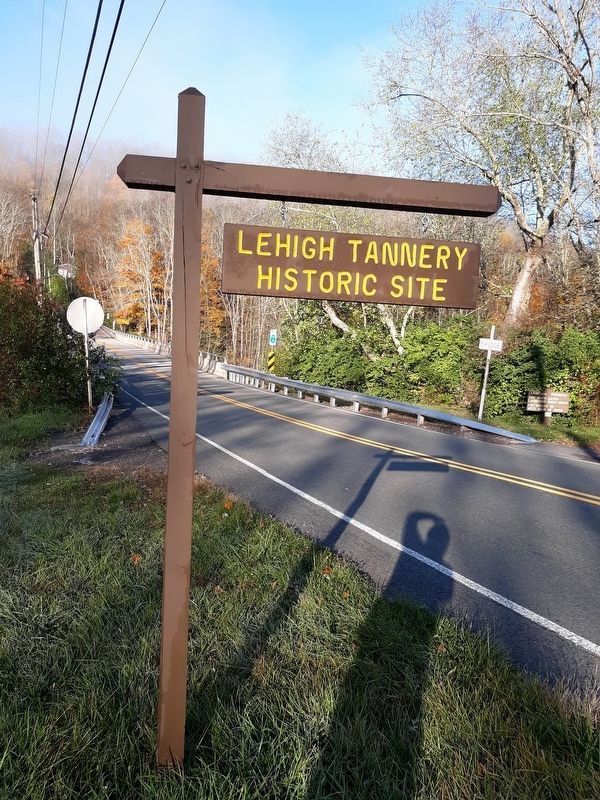
| — | Lehigh Tannery Historic Site | — |
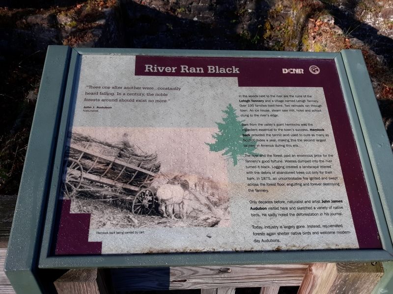
"Trees one after another were...constantly heard falling. In a century, the noble forests around should exist no more."
John J. Audubon
Naturalist
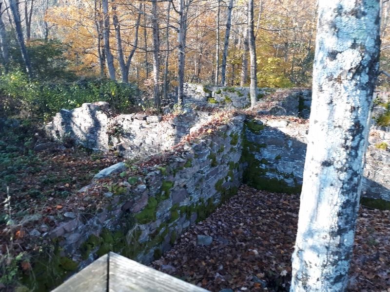
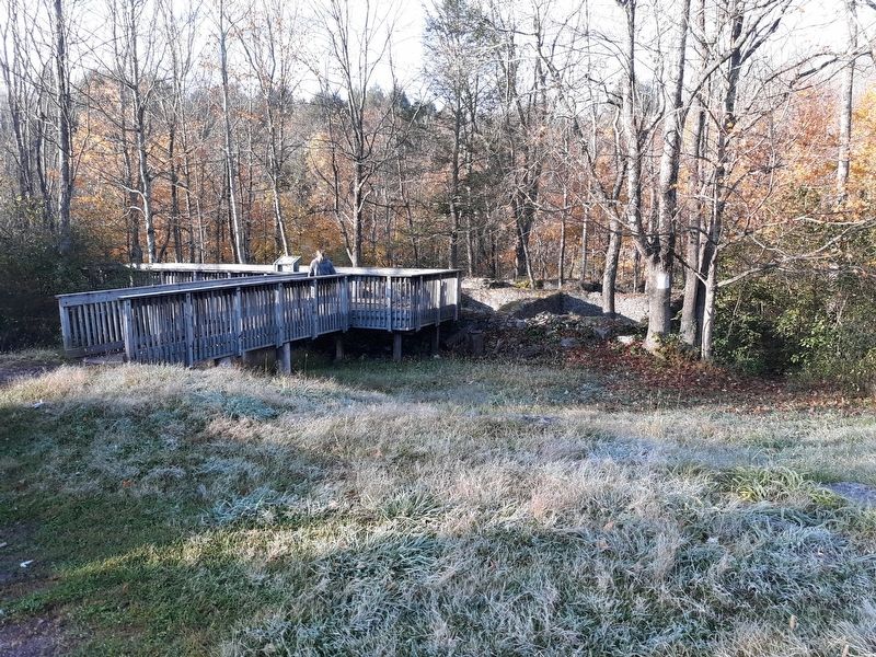
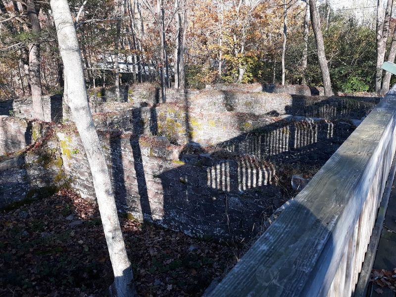
In the woods next to the river are the ruins of the Lehigh Tannery and a village named Lehigh Tannery. Over 100 families lived here. Two railroads ran through town. An ice house, steam saw mill, hotel and school clung to the river's edge.
Bark from the valley's giant hemlocks was the ingredient essential to the town's success. Hemlock bark provided the tannic acid used to cure as many as 50,000 hides a year, making this the second largest tannery in America during this era.
The river and the forest paid an enormous price for the Tannery's good fortune. Wastes dumped into the river turned it black. Logging created a landscape littered with the debris of abandoned trees cut only for their bark. In 1875, an uncontrollable fire ignited and swept across the forest floor, engulfing and forever destroying the Tannery.
Only decades before, naturalist and artist John James Audubon visited here and sketched a variety of native birds. He sadly noted the
this page online
Today, industry is largely gone. Instead, rejuvenated
forests again shelter native birds and welcome modern-
day Audubons.
Erected by Delaware & Lehigh National Heritage Corridor.
Topics. This historical marker is listed in these topic lists: Industry & Commerce • Railroads & Streetcars. A significant historical year for this entry is 1875.
Location. 41° 2.3′ N, 75° 45.617′ W. Marker is in White Haven, Pennsylvania, in Carbon County. It is on Tannery Road, on the right when traveling east. Touch for map. Marker is in this post office area: White Haven PA 18661, United States of America. Touch for directions.
Regionally, this marker is in Pennsylvania’s Anthracite Coal Region and in the Pocono Mountains. It is also in the American Northeast, in the Mid-Atlantic, in Appalachia, and specifically in Northern Appalachia. Globally, it is in North America, the Western Hemisphere, the Western World, and the Anglosphere. Historically, it finds itself in what was once the Haudenosaunee (Iroquois) Confederacy and also one of the original Thirteen Colonies.
Other nearby markers. At
Credits. This page was last revised on December 30, 2020. It was originally submitted on December 28, 2020, by Craig Doda of Napoleon, Ohio. This page has been viewed 517 times since then and 45 times this year. Photos: 1, 2, 3, 4, 5, 6. submitted on December 28, 2020, by Craig Doda of Napoleon, Ohio. • Bill Pfingsten was the editor who published this page.
