Catawissa in Columbia County, Pennsylvania — The American Northeast (Mid-Atlantic)
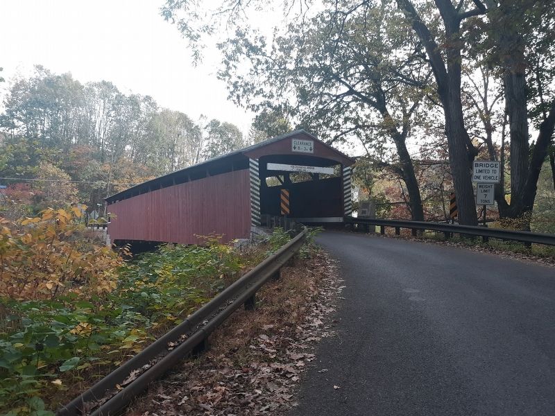
Hollingshead Covered Bridge
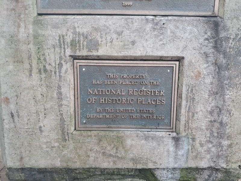
National Register of Historic Places
This property
has been placed on the
National Register
of Historic Places
by the United States
Department of the Interior
(Plaque 2)
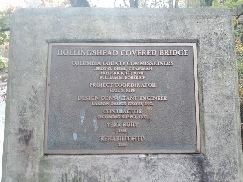
Hollingshead Covered Bridge
Columbia County Commissioners
Leroy O. Diehl, Chairman
Frederick T. Trump
William M. Soberick
Project Coordinator
Gail S. Kipp
Design Consultant Engineer
Larson Design Group, Inc.
Contractor
Lycoming Supply, Inc.
Year Built
1851
Rehabilitated
1999
Erected 1999.
Topics and series. This historical marker is listed in this topic list: Bridges & Viaducts. In addition, it is included in the Covered Bridges, and the National Register of Historic Places series lists. A significant historical year for this entry is 1851.
Location. 40° 57.106′ N, 76° 26.853′ W. Marker is in Catawissa, Pennsylvania, in Columbia County. Marker is at the intersection of Mountain Road and Old Reading Road, on the right when traveling south on Mountain Road. Touch for map. Marker is in this post office area: Catawissa PA 17820, United States of America. Touch for directions.
Other nearby markers. At least 8 other markers are within 3 miles of this marker, measured as the crow flies. Civil War Memorial (approx. half a mile away); Catawissa Friends Meeting (approx. ¾ mile away); Veterans Memorial (approx. 0.9 miles away); The Catawissa Bridge (approx. 0.9 miles away); a different marker also named Veterans Memorial (approx. 1.3 miles away); Native American Inhabitants Memorial (approx. 2.1 miles away); Rupert Covered Bridge (approx. 2.4 miles away); a different marker also named Rupert Covered Bridge (approx. 2.4 miles away). Touch for a list and map of all markers in Catawissa.
Also see . . .
1. Hollingshead Covered Bridge. (Submitted on December 29, 2020, by Craig Doda of Napoleon, Ohio.)
2. Hollingshead Covered Bridge in PHMC Covered Bridges of Columbia & Montour Counties Thematic Resource.
Credits. This page was last revised on December 8, 2023. It was originally submitted on December 29, 2020, by Craig Doda of Napoleon, Ohio. This page has been viewed 99 times since then and 14 times this year. Photos: 1, 2, 3. submitted on December 29, 2020, by Craig Doda of Napoleon, Ohio. • Bill Pfingsten was the editor who published this page.


