Historic District - North in Savannah in Chatham County, Georgia — The American South (South Atlantic)
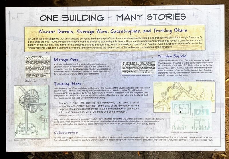
One Building - Many Stories
Wooden Barrels, Storage Wars, Catastrophes, and Twinkling Stars
Storage Wars
Ironically, the builder and first lease holder of this structure, Charles Cluskey, probably never used it. In 1842, less than two years after receiving the 20-year lease, Cluskey was ordered by the court to auction the lease to pay debts owed to John Dillon. John came into ownership of the lease at that time.
Twinkling Stars
One intriguing use of the vaults involved the survey and mapping of the Savannah harbor and southeastern coast in 1851. The U.S. Coast Survey used state-of-the art technology long before Global Positioning triangulation and the paths of stars to determine locations of landforms to each other and the planet. Such techniques created this 1855 Georgia marsh map [Right].
January 7, 1851. Mr. Boutelle has contracted, "...to erect a small temporary observatory over the Tombs east of the Exchange, for the purpose of making observations for latitude and longitude. In connection with these calculations, Mr. B. will make use of the telegraph."
Digital Library of Georgia, Savannah Daily Republican, 1/7/1851
Why did mapping require the storeroom vaults? The vaults stood next to the City Exchange Building, which had a tall spire on its clock tower. Engineers could use the spire to send and receive telegraph signals to telescope locations and the vaults provided office and equipment space. Here is an 1820 "Plan for an Observatory" for Coast Survey [Right].
Catastrophes
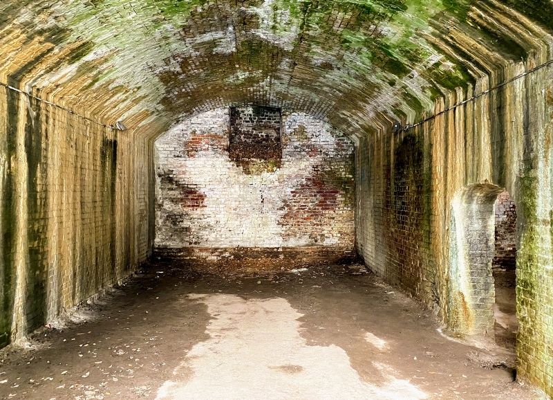
In 1904, three African Americans were seriously injured in the western-most vault as they constructed the new City Hall building. The vault collapsed during excavations for the foundations of the neighboring structure. Workmen survived, despite being crushed under massive amounts of brick and timber. City Hall's contractor rebuilt the collapsed vault.
Wooden Barrels
The vaults served functions other than storage. In 1845, Vault Number 4 (referred to in the newspaper advertisement as "TOMB No. 4") provided P.D. Nellis with a venue for his coopering, or barrel-making, business. This location placed Nellis in the heart of the port's shipping activities. Grocers, merchants, factors, and tradesmen needed barrels to store and ship an assortment of goods.
Topics. This historical marker is listed in this topic list: Architecture.
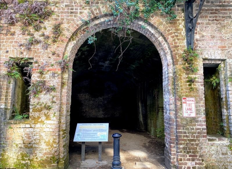
Location. 32° 4.865′ N, 81° 5.448′ W. Marker is in Savannah, Georgia, in Chatham County. It is in the Historic District - North. Marker is on East Upper Factors Walk north of East Bay Street, on the left when traveling west. Marker is located behind the Savannah City Hall, at the third of a series of four arched vaults. Touch for map. Marker is at or near this postal address: 42 E Upper Factors Walk, Savannah GA 31401, United States of America. Touch for directions.
Other nearby markers. At least 8 other markers are within walking distance of this marker. A Storeroom By Any Other Name (here, next to this marker); Vaulting Through Time (a few steps from this marker); Savannah City Hall (a few steps from this marker); Charles Blaney Cluskey (a few steps from this marker); Chatham Artillery's (within shouting distance of this marker); a different marker also named Chatham Artillery's (within shouting distance of this marker); Central Railroad & Bank Bldg. (within shouting distance of this marker); The "John Randolph" (within shouting distance of this marker). Touch for a list and map of all markers in Savannah.
Credits. This page was last revised on February 8, 2023. It was originally submitted on January 1, 2021, by Shane Oliver of Richmond, Virginia. This page has been viewed 236 times since then and 30 times this year. Photos: 1, 2, 3. submitted on January 1, 2021, by Shane Oliver of Richmond, Virginia. • Bernard Fisher was the editor who published this page.


