Greenville in Hunt County, Texas — The American South (West South Central)
Majors Army Airfield
Photographed by Gary Estep, circa October 23, 2025
1. Majors Army Airfield Marker
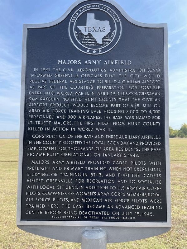
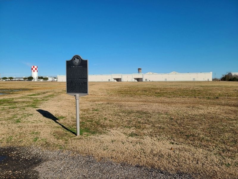
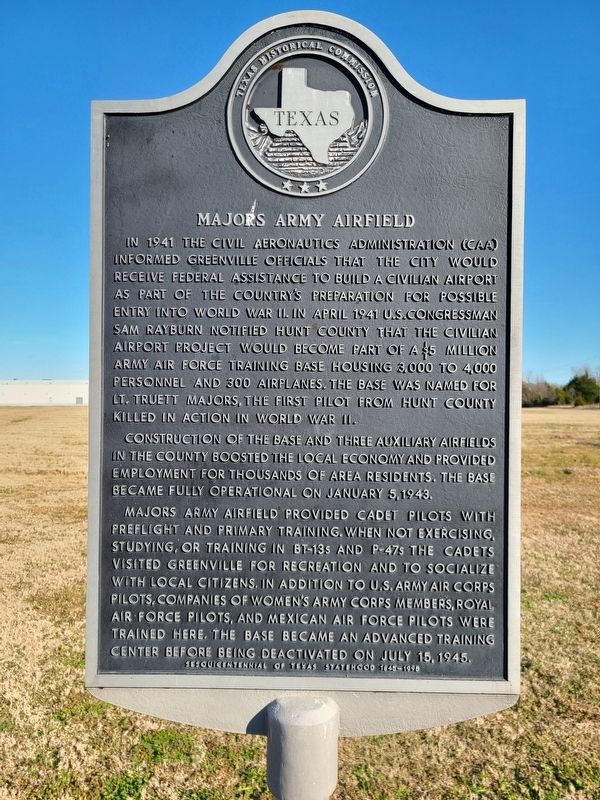
In 1941 the Civil Aeronautics Administration (CAA) informed Greenville officials that the city would receive Federal assistance to build a civilian airport as part of the country's preparation for possible entry into World War II. In April 1941 U. S. Congressman Sam Rayburn notified Hunt County that the civilian airport project would become part of a $5 million Army Airforce training base housing 3,000 to 4,000 personnel and 300 airplanes. The base was named for Lt. Truett Majors, the first pilot from Hunt County killed in action in World War II.
Construction of the base and three auxiliary airfields in the county boosted the local economy and provided employment for thousands of area residents. The base became fully operational on January 5, 1943.
Majors Army Airfield provided cadet pilots with preflight and primary training. When not exercising, studying, or training in BT-13s and P-47s the cadets visited Greenville for recreation and to socialize with local citizens. In addition to U. S. Army Air Corps pilots, companies of Women's Army Corps members, Royal Air Force pilots, and Mexican Air Force pilots were trained here.
this page online
Sesquicentennial of Texas Statehood 1845 - 1995
Erected 1994 by Texas Historical Commission. (Marker Number 7815.)
Topics. This historical marker is listed in these topic lists: Air & Space • War, World II. A significant historical date for this entry is January 5, 1943.
Location. 33° 3.936′ N, 96° 4.608′ W. Marker is in Greenville, Texas, in Hunt County. It is at the intersection of Highway 2101 and Majors Road, on the right when traveling north on Highway 2101. Touch for map. Marker is in this post office area: Greenville TX 75402, United States of America. Touch for directions.

Regionally, this marker is in the Prairies & Lakes Region and in the Dallas-Fort Worth Metropolitan Area. It is also in the American South. Globally, it is in North America, a Gulf of Mexico state, the Western Hemisphere, the Western World, and the Anglosphere. Historically, it finds itself in what was once New Spain, the Republic of Texas, one of the Confederate States of America, and the Antebellum South.
Other nearby markers. At least 8 other markers are
Photographed by Jesse Nelsen, January 2, 2021
2. Majors Army Airfield Marker
Photographed by Jesse Nelsen, January 2, 2021
3. Majors Army Airfield Marker
Credits. This page was last revised on October 31, 2025. It was originally submitted on January 3, 2021, by Jesse Nelsen of Farmersville, Texas. This page has been viewed 1,754 times since then and 160 times this year. Photos: 1. submitted on October 27, 2025, by Gary Estep of Anna, Texas. 2, 3. submitted on January 3, 2021, by Jesse Nelsen of Farmersville, Texas. • J. Makali Bruton was the editor who published this page.
