Near Hemingway in Georgetown County, South Carolina — The American South (South Atlantic)
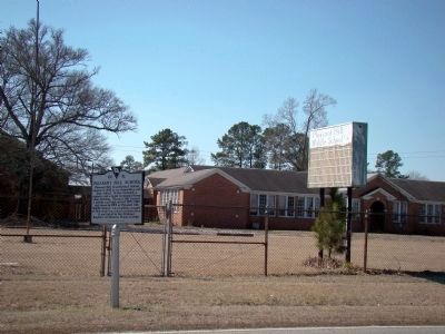
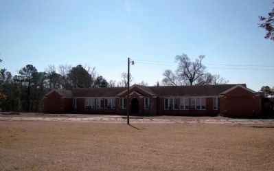
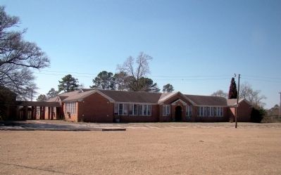
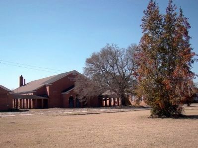
Pleasant Hill School
Erected 2001 by the Pleasant Hill Middle School Parent-Teacher Organization. (Marker Number 22-51.)
Topics. This historical marker is listed in these topic lists: Education • Notable Buildings. A significant historical year for this entry is 1938.
Location. 33° 40.85′ N, 79° 22.05′ W. Marker is near Hemingway, South Carolina, in Georgetown County. Marker is on Pleasant Hill Drive (State Highway 513) just west of Barberry Road, on the left when traveling west. Touch for map. Marker is in this post office area: Hemingway SC 29554, United States of America. Touch for directions.
Other nearby markers. At least 8 other markers are within 8 miles of this marker, measured as the crow flies. Pleasant Hill Baptist Church (about 500 feet away, measured in a direct line); Birthplace of Jeremiah John Snow / China Grove Plantation (approx. 4.8 miles away); Skirmish At Black Mingo Creek (approx. 5˝ miles away); Black Mingo Creek: (approx. 5.6 miles away); Black Mingo – Willtown / Black Mingo Baptist Church (approx. 5.9 miles away); Benjamin Britton Chandler (1854–1925) (approx. 6.6 miles away); Black Mingo Presbyterian Meeting House (approx. 6.9 miles away); Ebenezer United Methodist Church (approx. 7.1 miles away). Touch for a list and map of all markers in Hemingway.
Credits. This page was last revised on June 16, 2016. It was originally submitted on February 23, 2009, by J. J. Prats of Powell, Ohio. This page has been viewed 1,783 times since then and 69 times this year. Photos: 1, 2, 3, 4, 5. submitted on February 23, 2009, by J. J. Prats of Powell, Ohio.
