Union Square in Manhattan in New York County, New York — The American Northeast (Mid-Atlantic)
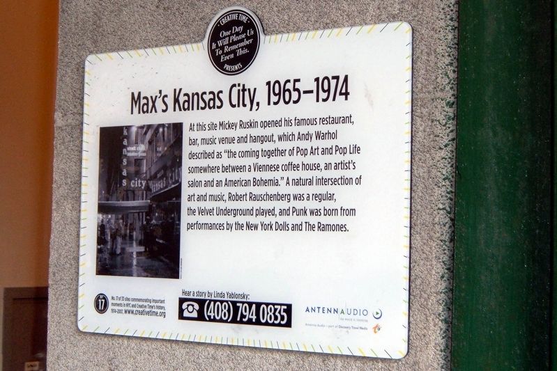
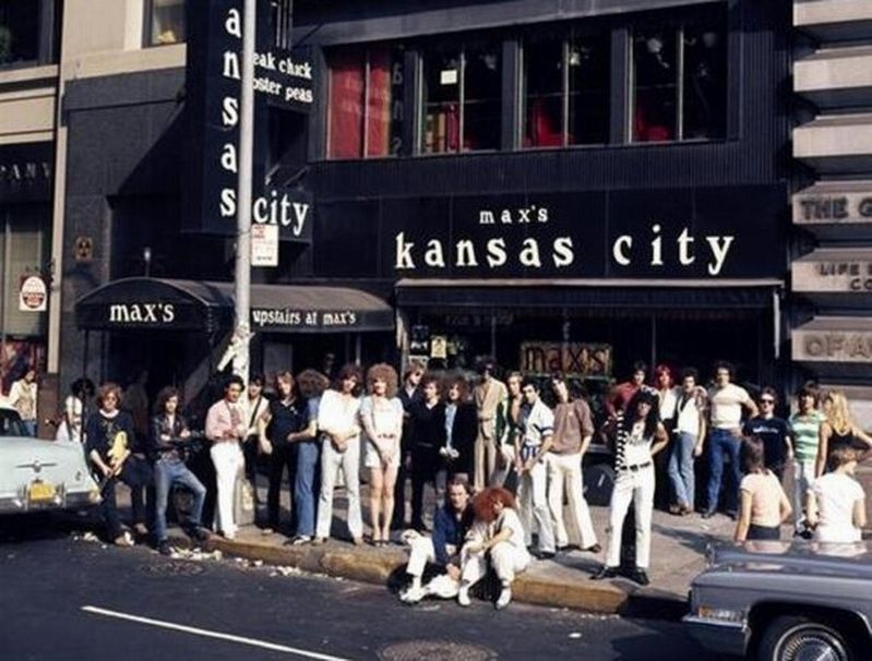
Max’s Kansas City, 1965-1974
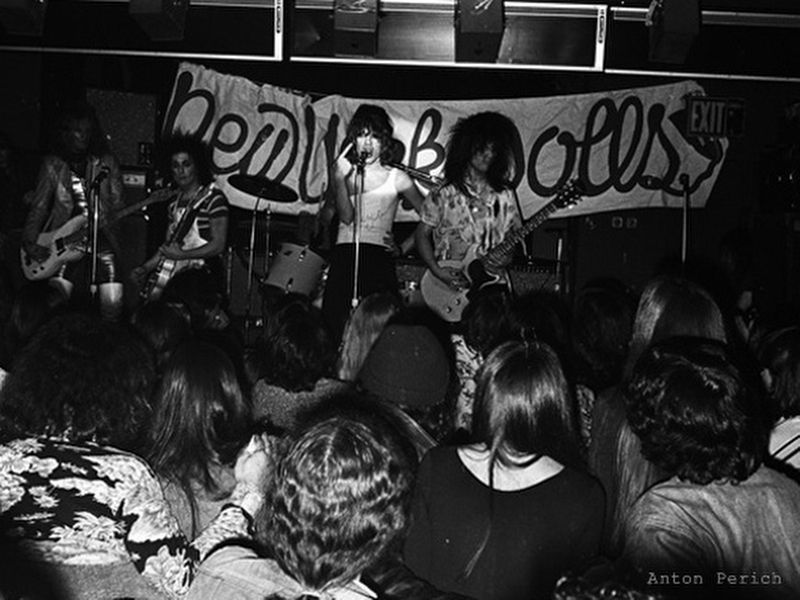
At this site Mickey Ruskin opened his famous restaurant, bar, music venue and hangout, which Andy Warhol described as “the coming together of Pop Art and Pop Life somewhere between a Viennese coffee house, and artist’s salon and an American Bohemia.” A natural intersection of art and music, Robert Rauschenberg was a regular, the Velvet Underground played, and Punk was born from performances by the New York Dolls and The Ramones.
Topics. This historical marker is listed in this topic list: Arts, Letters, Music.
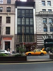
Location. Marker has been permanently removed. It was located near 40° 44.206′ N, 73° 59.32′ W. Marker was in Manhattan, New York, in New York County. It was in Union Square. Marker could be reached from Park Avenue South. Touch for map. Marker was at or near this postal address: 213 Park Ave South, New York NY 10003, United States of America.
We have been informed that this sign or monument is no longer there and will not be replaced. This page is an archival view of what was.
Other nearby markers. At least 8 other markers are within walking distance of this location. The Germania Life Insurance Company Building (here, next to this marker); Armenian Grove Plaque (within shouting distance of this marker); Washington Irving (about 400 feet away, measured in a direct line); O. Henry (about 400 feet away); Abraham Lincoln Statue (about 400 feet away); 105 East 19th Street (about 400 feet away); Pete’s Tavern (about 500 feet away); Independence Flagstaff (about 500 feet away). Touch for a list and map of all markers in Manhattan.
Also see . . .
1. Max's Kansas City. Wikipedia entry (Submitted on January 9, 2021, by Larry Gertner of New York, New York.)
2. Max's Kansas City. Nostalgia Central entry (Submitted on January 9, 2021, by Larry Gertner of New York, New York.)
Credits. This page was last revised on January 31, 2023. It was originally submitted on January 9, 2021, by Larry Gertner of New York, New York. This page has been viewed 262 times since then and 29 times this year. Photos: 1, 2, 3, 4. submitted on January 9, 2021, by Larry Gertner of New York, New York.


