
Command and Administrative Building #3
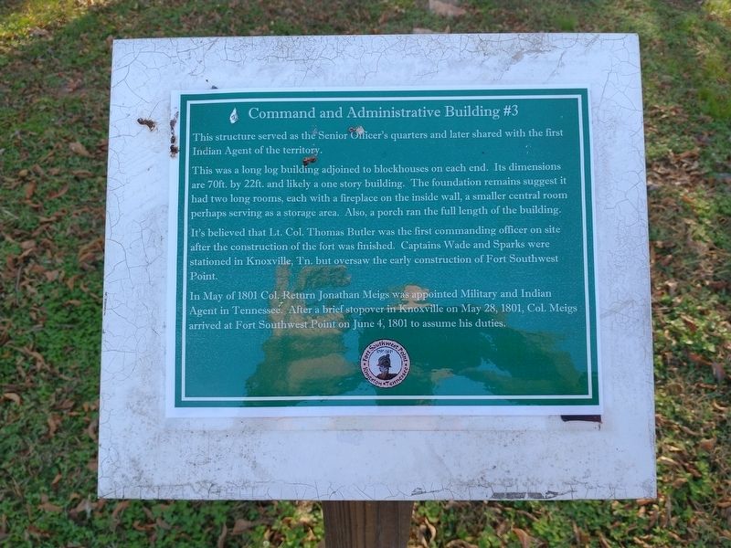
This structure served as the Senior Officer’s quarters and later shared with the first Indian Agent of the territory.
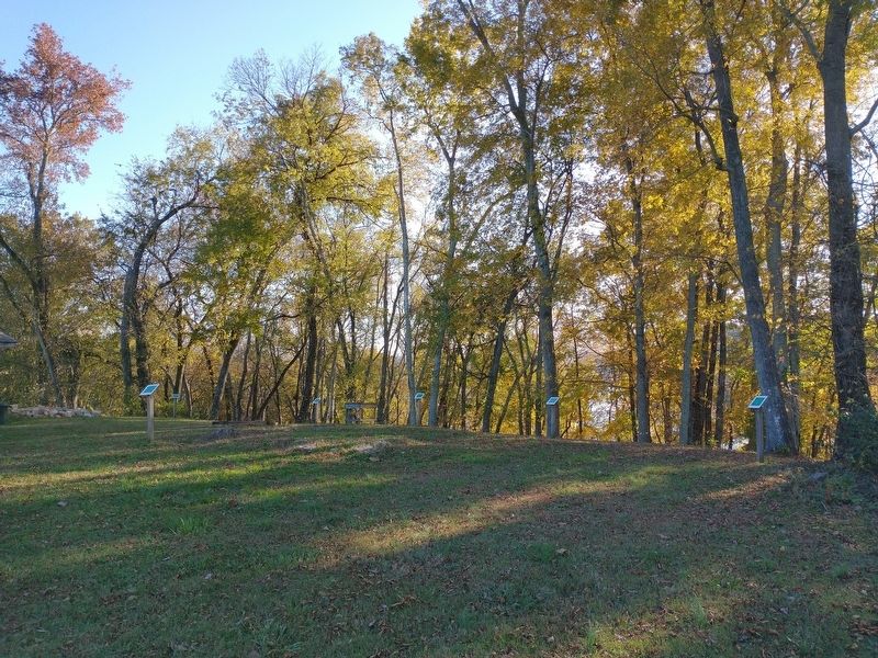
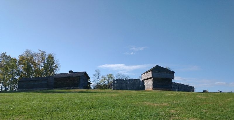
This was a long building adjoined to blockhouses on each end. Its dimensions are 70 ft. by 22 ft. and likely a one story building. The foundation remains suggest it had two long rooms, each with a fireplace on the inside wall, a smaller central room perhaps serving as a storage area. Also, a porch ran the full length of the building.
It’s believed that Lt. Col. Thomas Butler was the first commanding officer on site after the construction of the fort was finished. Captains Wade and Sparks were stationed in Knoxville, Tn. But oversaw the early construction of Fort Southwest Point. In May of 1801 Col. Return Jonathan Meigs was appointed military and Indian Agent in Tennessee. After a brief stopover in Knoxville on May 29, 1801, Col. Meigs arrived at Fort Southwest Point on June 4, 1801 to assume his duties.
Topics. This historical marker is listed in this topic list: Forts and Castles. A significant historical date for this entry is May 29, 1801.
Location. 35° 51.641′ N, 84° 31.758′ W. Marker is in Kingston, Tennessee,
this page online

Regionally, this marker is in East Tennessee and in Greater Knoxville. It is also in the American South, specifically in the Upper South, in Appalachia, and specifically in Southern Appalachia. Globally, it is in North America, the Western Hemisphere, the Western World, and the Anglosphere. Historically, it finds itself in what was once the original Cherokee Nation, the territory of the Mississippian Culture, one of the Confederate States of America, and the Antebellum South.
Other nearby markers. At least 8 other markers are within walking distance of this marker: Pillory (here, next to this marker); Court Martial of Private Abraham Setts (here, next to this marker); Blockhouse #11 (a few steps from this marker); Quartermaster’s Supply Building #15 (a few steps from this marker); Soldier’s Barracks w/ Cellar #14
Credits. This page was last revised on January 12, 2021. It was originally submitted on January 10, 2021, by Tom Bosse of Jefferson City, Tennessee. This page has been viewed 195 times since then and 8 times this year. Photos: 1, 2, 3. submitted on January 10, 2021, by Tom Bosse of Jefferson City, Tennessee. • Devry Becker Jones was the editor who published this page.
