Near Garrison in McLean County, North Dakota — The American Midwest (Upper Plains)
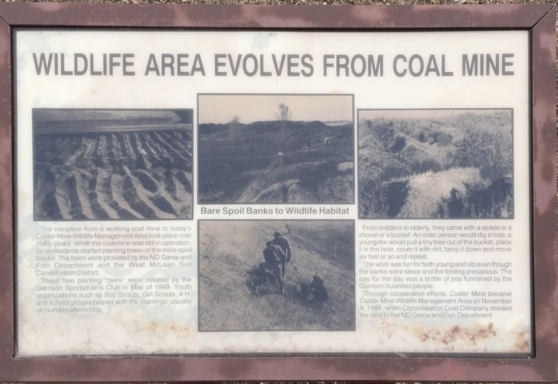
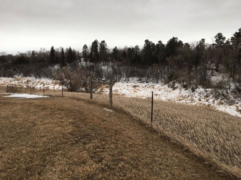
Wildlife Area Evolves From Coal Mine
These tree planting "bees” were initiated by the Garrison Sportsman's Club in May of 1949. Youth organizations such as Boy Scouts, Girl Scouts, 4-H, and school groups helped with the plantings, usually on Sunday afternoons.
From toddlers to elderly, they came with a spade or a
shovel or a bucket. An older person would dig a hole, a
youngster would pull a tiny tree out of the bucket, place
it in the hole, cover it with dirt, tamp it down and move
six feet or so and repeat.
The work was fun for both young and old even though
the banks were steep and the footing precarious. The
pay for the day was a bottle of pop furnished by the
Garrison business people.
Through cooperative efforts, Custer Mine became
Custer Mine Wildlife Management Area on November
9, 1984, when Consolidation Coal Company deeded
the land to the ND Game and Fish Department.
Topics. This historical marker is listed in these topic lists: Charity & Public Work
Location. 47° 38.758′ N, 101° 17.782′ W. Marker is near Garrison, North Dakota, in McLean County. Marker is on State Highway 37 near Federal Highway 83, on the left when traveling west. Touch for map. Marker is in this post office area: Garrison ND 58540, United States of America. Touch for directions.
Other nearby markers. At least 5 other markers are within 12 miles of this marker, measured as the crow flies. Custer Coal Mine (here, next to this marker); Land of Strange Disappearances (here, next to this marker); Intake Structure (approx. 11.7 miles away); Powerhouse (approx. 11.7 miles away); Garrison Dam (approx. 11.7 miles away).
Credits. This page was last revised on January 15, 2021. It was originally submitted on January 10, 2021, by Connor Olson of Kewaskum, Wisconsin. This page has been viewed 152 times since then and 20 times this year. Photos: 1, 2. submitted on January 10, 2021, by Connor Olson of Kewaskum, Wisconsin. • Bill Pfingsten was the editor who published this page.

