Casper in Natrona County, Wyoming — The American West (Mountains)
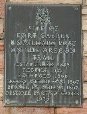
Site of Fort Casper
On the Oregon
Trail
Established 1858
Rebuilt 1865
Enlarged 1866
Troops Withdrawn 1867
Burned by Indians 1867
Restored by City of Casper
1936
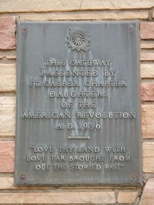
Erected 1936 by Daughters of the American Revolution, Fort Caspar Chapter.
Topics and series. This historical marker is listed in this topic list: Forts and Castles. In addition, it is included in the Daughters of the American Revolution series list.
Location. 42° 50.199′ N, 106° 22.17′ W. Marker is in Casper, Wyoming, in Natrona County. Marker is on Fort Caspar Road west of South West Wyoming Boulevard (Wyoming Highway 258), on the right when traveling west. Touch for map. Marker is at or near this postal address: 4001 Fort Caspar Road, Casper WY 82604, United States of America. Touch for directions.
Other nearby markers. At least 8 other markers are within walking distance of this marker. Old Pioneer Military Cemetery (within shouting distance of this marker); Platte Bridge Cemetery (within shouting distance of this marker); Old Fort Caspar (about 300 feet away, measured in a direct line); The Battle of Red Buttes (about 400 feet away); The Battle at Platte Bridge (about 400 feet away); Oregon Trail (about 500 feet away); Mormon Pioneer Trail (about 500 feet away); The Pony Express (about 500 feet away). Touch for a list and map of all markers in Casper.
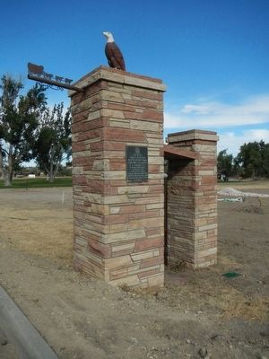
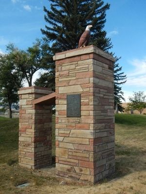
More about this marker. This marker is located on the gateway to Fort Caspar.
Credits. This page was last revised on January 12, 2021. It was originally submitted on December 18, 2015, by Barry Swackhamer of Brentwood, California. This page has been viewed 319 times since then and 18 times this year. Last updated on January 12, 2021, by Craig Baker of Sylmar, California. Photos: 1, 2, 3, 4, 5. submitted on December 18, 2015, by Barry Swackhamer of Brentwood, California.
