West Columbia in Brazoria County, Texas — The American South (West South Central)
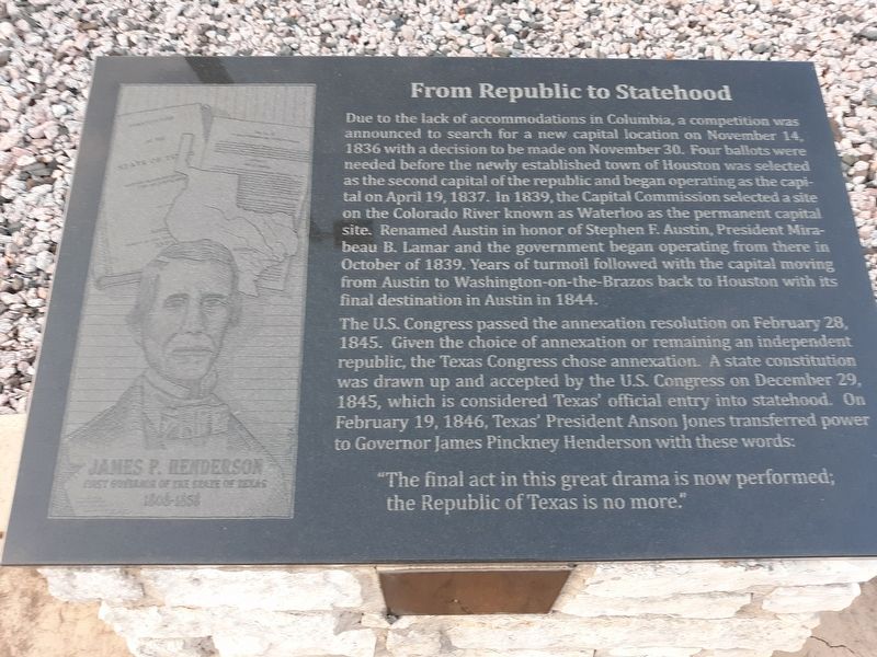
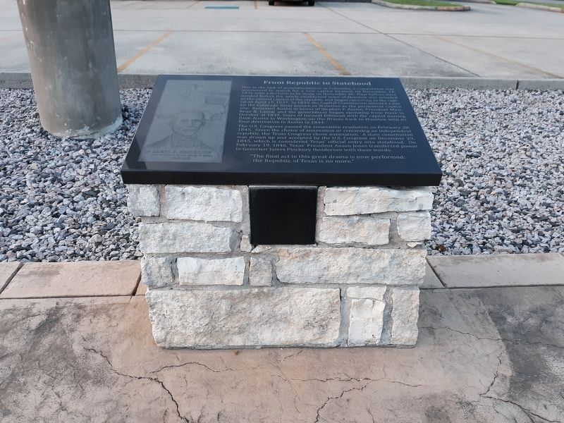
From Republic to Statehood
Due to the lack of accommodations in Columbia, a competition was announced to search for a new capital location on November 14, 1836 with a decision to be made on November 30. Four ballots were needed before the newly established town of Houston was selected as the second capital of the republic and began operating as the capital on April 19, 1837. In 1839, the Capital Commission selected a site on the Colorado River known as Waterloo as the permanent capital site. Renamed Austin in honor of Stephen F. Austin, President Mirabeau B. Lamar and the government began operating from there in October of 1839. Years of turmoil followed with the capital moving from Austin to Washington-on-the-Brazos back to Houston with its final destination in Austin in 1844.
The U.S. Congress passed the annexation resolution on February 28, 1845. Given the choice of annexation or remaining an independent republic, the Texas Congress chose annexation. A state constitution was drawn up and accepted by the U.S. Congress on December 29, 1845, which is considered Texas' official entry into statehood. On February 19, 1846, Texas' President Anson Jones transferred power to Governor James Pinckney Henderson with these words:
"The final act in this great drama is now performed;
the Republic of Texas is no more."
Topics. This historical marker
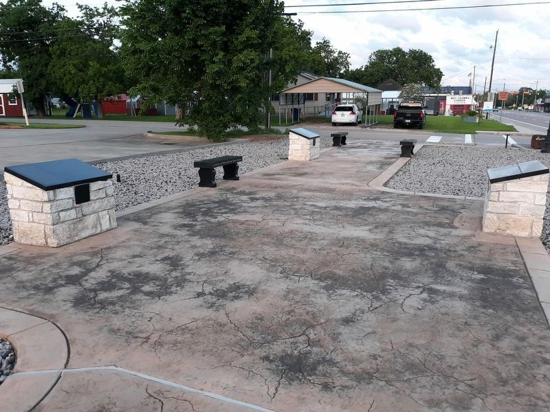
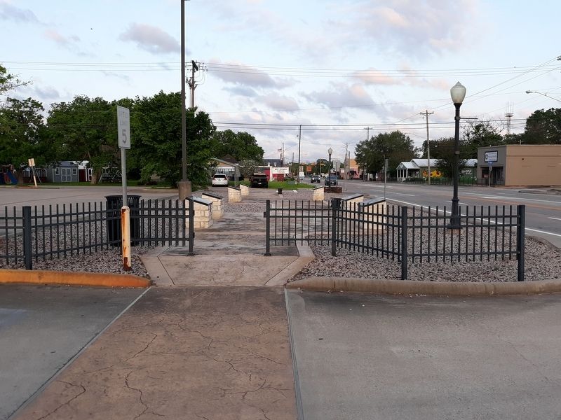
Location. 29° 8.673′ N, 95° 38.822′ W. Marker is in West Columbia, Texas, in Brazoria County. Marker is on East Brazos Avenue (State Highway 35) west of North 16th Street, on the right when traveling west. Touch for map. Marker is in this post office area: West Columbia TX 77486, United States of America. Touch for directions.
Other nearby markers. At least 8 other markers are within walking distance of this marker. The Capitol Oak (here, next to this marker); Stephen Fuller Austin (a few steps from this marker); Religion in the New Capital (a few steps from this marker); The Brazos River and the Steamboat Yellowstone (a few steps from this marker); Masons of the Republic of Texas (a few steps from this marker); Columbia in 1836 (a few steps from this marker); Accomplishments of the First Congress (within shouting distance of this marker); Telegraph and Texas Register (within shouting distance of this marker). Touch for a list and map of all markers in West Columbia.
Credits. This page was last revised on January 16, 2021. It was originally submitted on January 13, 2021, by Craig Doda of Napoleon, Ohio. This page has been viewed 159 times since then and 16 times this year. Photos: 1, 2, 3, 4. submitted on January 13, 2021, by Craig Doda of Napoleon, Ohio. • J. Makali Bruton was the editor who published this page.


