Farmersville in Collin County, Texas — The American South (West South Central)
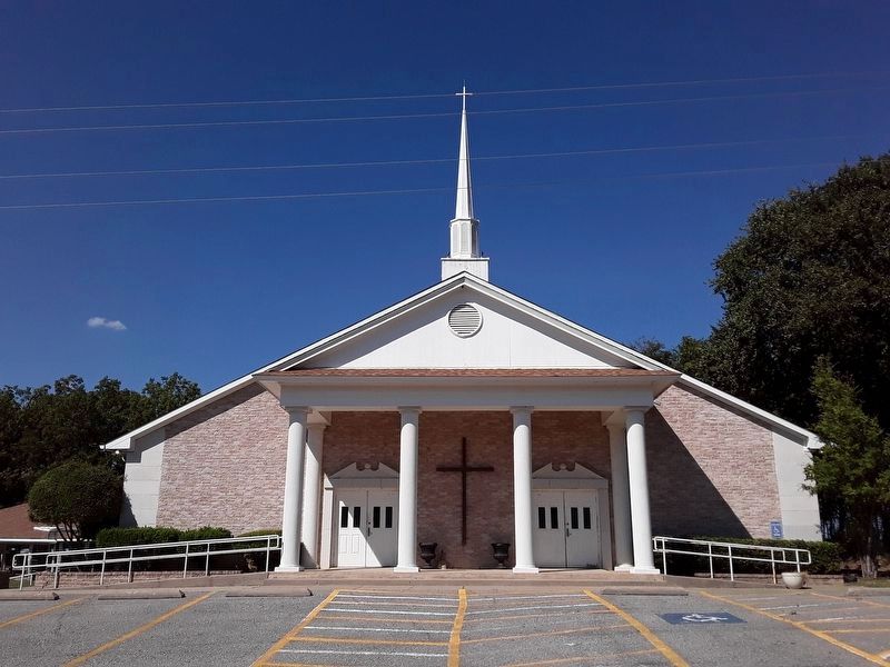
Bethlehem Baptist Church
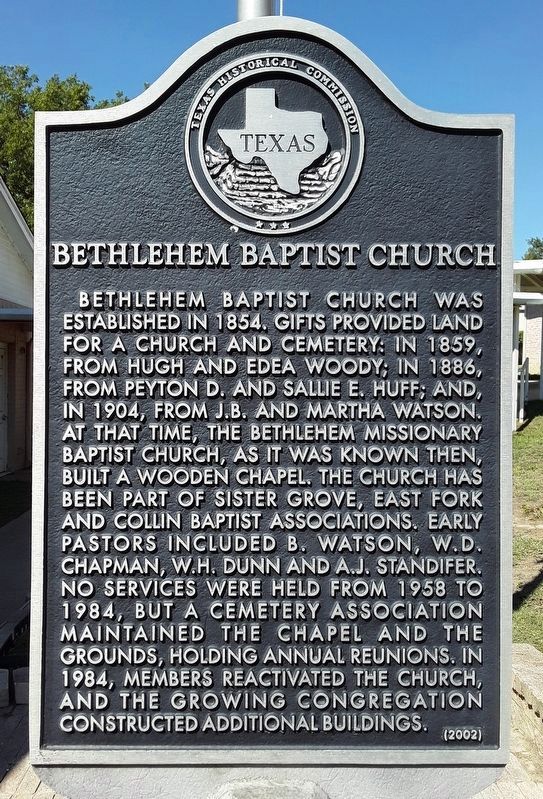
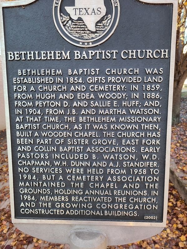
Bethlehem Baptist Church was established in 1854. Gifts provided land for a church and cemetery: in 1859, from Hugh and Edea Woody; in 1886, from Peyton D. and Sallie E. Huff; and, in 1904, from J.B. and Martha Watson. At that time, the Bethlehem Missionary Baptist Church, as it was known then, built a wooden chapel. The church has been part of Sister Grove, East Fork and Collin Baptist associations. Early pastors included B. Watson, W.D. Chapman, W.H. Dunn and A.J. Standifer. No services were held from 1958 to 1984, but a cemetery association maintained the chapel and the grounds, holding annual reunions. In 1984, members reactivated the church, and the growing congregation constructed additional buildings.
Erected 2002 by Texas Historical Commission. (Marker Number 12926.)
Topics. This historical marker is listed in this topic list: Churches & Religion. A significant historical year for this entry is 1854.
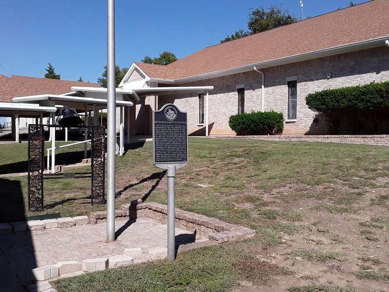
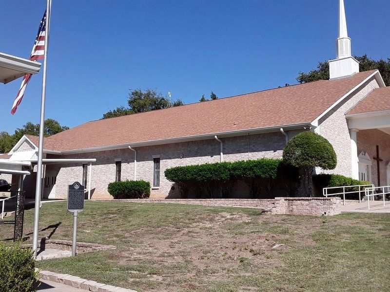
Location. 33° 15.137′ N, 96° 20.009′ W. Marker is in Farmersville, Texas, in Collin County. Marker is on Highway 665 east of Highway 664, on the left when traveling east. Touch for map. Marker is in this post office area: Farmersville TX 75442, United States of America. Touch for directions.
Other nearby markers. At least 8 other markers are within 7 miles of this marker, measured as the crow flies. Merit Cemetery (approx. 3.8 miles away); Merit Methodist Church (approx. 3.9 miles away); Blue Ridge (approx. 5 miles away); George Washington Smith (approx. 5.4 miles away); Farmersville I.O.O.F. Cemetery (approx. 5.7 miles away); Pleasant Grove Cemetery (approx. 5.9 miles away); Verona Methodist Church (approx. 5.9 miles away); First Methodist Church of Farmersville (approx. 6.2 miles away). Touch for a list and map of all markers in Farmersville.
Credits. This page was last revised on October 4, 2023. It was originally submitted on January 13, 2021, by Jesse Nelsen of Farmersville, Texas. This page has been viewed 221 times since then and 25 times this year. Photos: 1. submitted on October 1, 2023, by Kayla Harper of Dallas, Texas. 2. submitted on January 13, 2021, by Jesse Nelsen of Farmersville, Texas. 3, 4. submitted on October 1, 2023, by Kayla Harper of Dallas, Texas. 5. submitted on October 2, 2023, by Kayla Harper of Dallas, Texas. • J. Makali Bruton was the editor who published this page.
