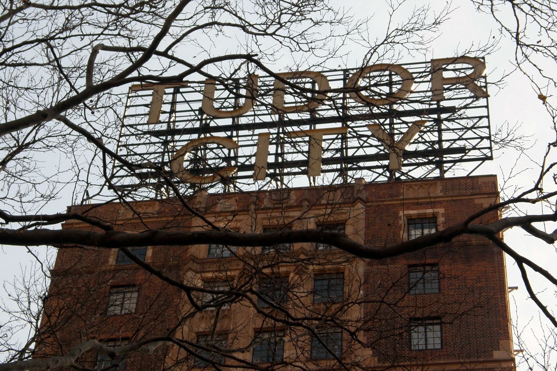
Tudor City in Manhattan in New York County, New York — The American Northeast (Mid-Atlantic)
The Tudor City Historic District
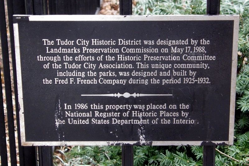
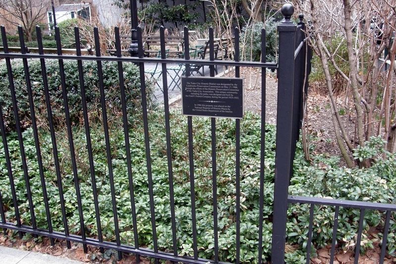
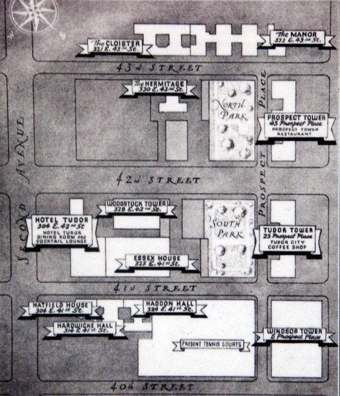
The Tudor City Historic District was designated by the Landmarks Preservation Commission on May 17, 1988, through the efforts of the Historic Preservation Committee of the Tudor City Association. This unique community, including parks, was designed and built by the Fred F. French Company during the period 1925-1932.
In 1986 this property was placed on the National Register of Historic Places by the United States Department of the Interior.
Topics. This historical marker is listed in this topic list: Architecture. A significant historical date for this entry is May 17, 1988.
Location. 40° 44.981′ N, 73° 58.213′ W. Marker is in Manhattan, New York, in New York County. It is in Tudor City. Marker is on Tudor City Place south of East 43rd Street, on the left when traveling north. Touch for map. Marker is in this post office area: New York NY 10017, United States of America. Touch for directions.
Other nearby markers. At least 8 other markers are within walking distance of this marker. John Ferguson McKean (a few steps from this marker); Peace Form One (within shouting distance of this marker); Bayard Rustin (about 300 feet away, measured in a direct line); Ford Foundation Building (about 300 feet away); Trygve Halvdan Lie (about 300 feet away); First Avenue Underpass (about 400 feet away); Trygve Lie Plaza (about 500 feet away); New York Daily News Building (approx. 0.2 miles away). Touch for a list and map of all markers in Manhattan.
Regarding The Tudor City Historic District.
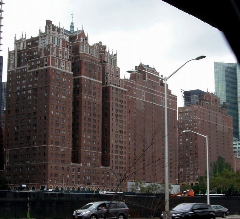
Tudor City was the first residential skyscraper complex in the world. It is listed in the "AIA (American Institute of Architects) Guide to New York City, Fifth Edition".
Also see . . .
1. Tudor City. Wikipedia entry (Submitted on January 14, 2021, by Larry Gertner of New York, New York.)
2. Tudor City Artifact: THE SCALE MODEL. Tudor City Confidential entry on the lobby piece (Submitted on January 14, 2021, by Larry Gertner of New York, New York.)
3. This 1930 neon hotel sign still illuminates East 42nd Street. Ephemeral New York blog entry (Submitted on January 3, 2022, by Larry Gertner of New York, New York.)
Credits. This page was last revised on January 31, 2023. It was originally submitted on January 14, 2021, by Larry Gertner of New York, New York. This page has been viewed 132 times since then and 13 times this year. Photos: 1, 2, 3, 4, 5. submitted on January 14, 2021, by Larry Gertner of New York, New York.
