Cedar Grove in Kanawha County, West Virginia — The American South (Appalachia)
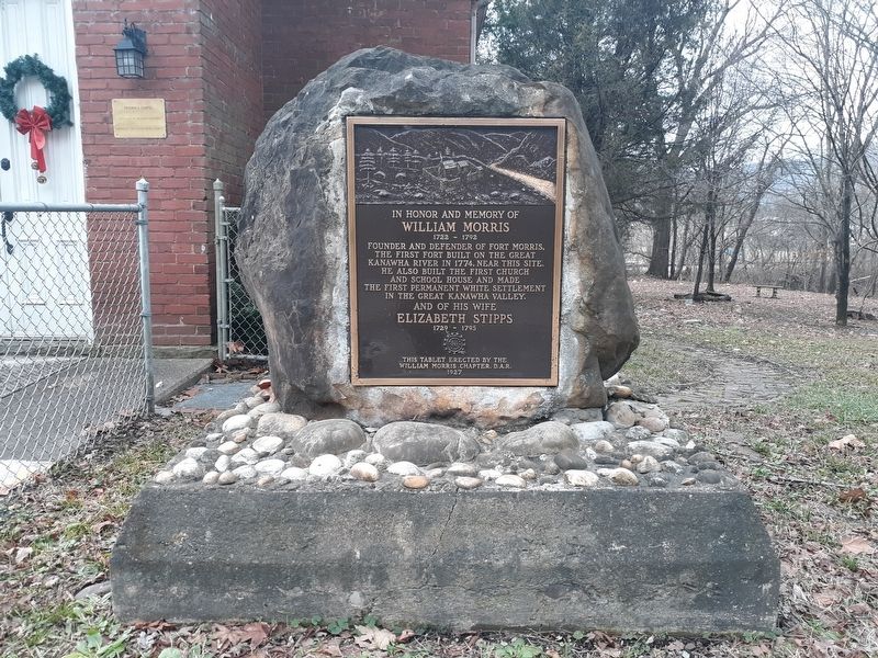
In Honor and Memory of William Morris
1722 - 1792
Founder and defender of Fort Morris, the first fort built on the Great Kanawha River in 1774, near this site. He also built the first church and school house and made the first permanent white settlement in the Great Kanawha Valley.
Elizabeth Stipps
1729 - 1795
Erected 1927 by William Morris Chapter, D.A.R.
Topics and series. This historical marker is listed in these topic lists: Churches & Religion • Education • Forts and Castles • Settlements & Settlers. In addition, it is included in the Daughters of the American Revolution series list. A significant historical year for this entry is 1774.
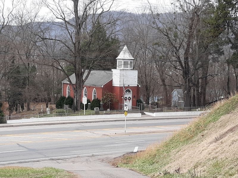
Location. 38° 13.05′ N, 81° 25.55′ W. Marker is in Cedar Grove, West Virginia, in Kanawha County. Marker is at the intersection of East Dupont Avenue (U.S. 60) and Woodmont Cemetery Drive, on the right when traveling south on East Dupont Avenue. On the grounds of the Historic Little Brick Church. Touch for map. Marker is at or near this postal address: 5448 E Dupont Ave, Cedar Grove WV 25039, United States of America. Touch for directions.
Other nearby markers. At least 8 other markers are within 2 miles of this marker, measured as the crow flies. Cedar Grove Veterans Memorial (here, next to this marker); Historic Church (a few steps from this marker); Major William Morris Jr. (a few steps from this marker); Virginia's Chapel (within shouting distance of this marker); First Settlers (within shouting distance of this marker); Andrew & Charles Lewis March (about 300 feet away, measured in a direct line); East Bank High School (approx. 0.9 miles away); Good Shepherd Chapel Catholic Church (approx. 1.7 miles away). Touch for a list and map of all markers in Cedar Grove.
Credits. This page was last revised on January 15, 2021. It was originally submitted on January 15, 2021, by Craig Doda of Napoleon, Ohio. This page has been viewed 466 times since then and 104 times this year. Photos: 1, 2. submitted on January 15, 2021, by Craig Doda of Napoleon, Ohio. • Devry Becker Jones was the editor who published this page.

