Village of Power / Windsor Power Plant
Village of Power. Built to house employees of the Windsor Power Plant, the village of Power consisted of 100 homes along tree-lined streets, a post office, and a company-owned store. There also was a fulltime doctor. Residents gathered at the ballfield or bowling alley when not at work. As plant operations idled, however, so too did the village, and Power was shuttered entirely in 1973.
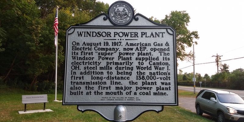
Windsor Power Plant. On August 19, 1917, American Gas &
Electric Company, now AEP, opened
its first "super” power plant. The
Windsor Power Plant supplied its
electricity primarily to Canton,
OH, steel mills during World War I.
In addition to being the nation's
first long-distance 138,000-volt
transmission line, the plant was
also the first major power plant
built at the mouth of a coal mine.
Erected 2018 by West Virginia Archives & History.
Topics and series. This historical marker is listed in these topic lists: Industry & Commerce • War, World I. In addition, it is included in the West Virginia Archives and History series list. A significant historical date for this entry is August 19, 1917.
Location. 40° 20.917′ N, 80° 36.417′ W. Marker is in Power, West Virginia, in Brooke County. Marker
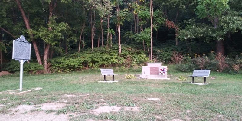
Other nearby markers. At least 8 other markers are within walking distance of this marker. Power Veterans Memorial (here, next to this marker); Market Street Bridge (approx. 0.6 miles away); Ohio Valley Steelworker Statue (approx. 0.7 miles away in Ohio); In Honor of Those Who Served Their Country (approx. 0.7 miles away in Ohio); Andrew Carnegie (1835-1919) / Carnegie Library of Steubenville (approx. ¾ mile away in Ohio); North-West Corner of Fort Steuben (approx. ¾ mile away in Ohio); Holy Trinity Greek Orthodox Church (approx. ¾ mile away in Ohio); This Old Federal Land Office (approx. ¾ mile away in Ohio).
Credits. This page was last revised on January 15, 2021. It was originally submitted on January 15, 2021, by Craig Doda of Napoleon, Ohio. This page has been viewed 456 times since then and 49 times this year. Last updated on January 15, 2021, by Bradley Owen of Morgantown, West Virginia. Photos: 1, 2, 3. submitted on January 15, 2021, by Craig Doda of Napoleon, Ohio. • Devry Becker Jones was the editor who published this page.


