
Forsyth in Rosebud County, Montana — The American West (Mountains)
Forsyth Bridge
Photographed by Barry Swackhamer, September 13, 2020
1. Forsyth Bridge Marker
Inscription.
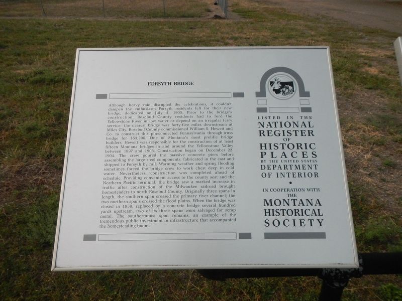
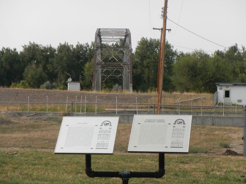
Forsyth Bridge. . Although heavy rain disrupted the celebrations, it couldnt dampen the enthusiasm Forsyth residents felt for their new bridge, dedicated on July 4, 1905. Prior to the bridges construction, Rosebud County residents had to ford the Yellowstone River in low water or depend on an irregular ferry service; the nearest bridge was forty-five miles downstream at Miles City. Rosebud County commissioned William S. Hewett and Co. to construct this pin- connected Pennsylvania through-truss bridge for $53,200. One of Montanas most prolific bridge builders, Hewett was responsible for the construction of at least fifteen Montana bridges in and around the Yellowstone Valley between 1897 and 1906. Construction began on December 22, 1904. The crew poured the massive concrete piers before assembling the large steel components, fabricated in the east and shipped to Forsyth by rail. Warming weather and spring flooding sometimes forced the bridge crew to work chest deep in cold water. Nevertheless, construction was completed ahead of schedule. Providing convenient access to the county seat and the Northern Pacific terminal, the bridge saw a marked increase in traffic after construction of the Milwaukee railroad brought homesteaders to north Rosebud County. Originally three spans in length, the southern span crossed the primary river channel; the two northern spans crossed the flood plains. When the bridge was closed in 1958, replaced by a concrete bridge several hundred yards upstream, two of its three spans were salvaged for scrap metal. The southernmost span remains, an example of the tremendous public investment in infrastructure that accompanied the homesteading boom.
Although heavy rain disrupted the celebrations, it couldnt dampen the enthusiasm Forsyth residents felt for their new bridge, dedicated on July 4, 1905. Prior to the bridges construction, Rosebud County residents had to ford the Yellowstone River in low water or depend on an irregular ferry service; the nearest bridge was forty-five miles downstream at Miles City. Rosebud County commissioned William S. Hewett and Co. to construct this pin- connected Pennsylvania through-truss bridge for $53,200. One of Montanas most prolific bridge builders, Hewett was responsible for the construction of at least fifteen Montana bridges in and around the Yellowstone Valley between 1897 and 1906. Construction began on December 22, 1904. The crew poured the massive concrete piers before assembling the large steel components, fabricated in the east and shipped to Forsyth by rail. Warming weather and spring flooding sometimes forced the bridge crew to work chest deep in cold water. Nevertheless, construction was completed ahead of schedule. Providing convenient access to the county seat and the Northern Pacific terminal, the bridge saw a
Click or scan to see this page online
marked increase in traffic after construction of the Milwaukee railroad brought homesteaders to north Rosebud County. Originally three spans in length, the southern span crossed the primary river channel; the two northern spans crossed the flood plains. When the bridge was closed in 1958, replaced by a concrete bridge several hundred yards upstream, two of its three spans were salvaged for scrap metal. The southernmost span remains, an example of the tremendous public investment in infrastructure that accompanied the homesteading boom.
Location. 46° 15.942′ N, 106° 41.382′ W. Marker is in Forsyth, Montana, in Rosebud County. It is at the intersection of 3rd Avenue North and Oak Street, on the left when traveling north on 3rd Avenue North. The marker is located in VFW Park. Touch for map. Marker is in this post office area: Forsyth
Photographed by Barry Swackhamer, September 13, 2020
Regionally, this marker is in Montana’s Northern Cheyenne Nation, in Southeast Montana, in Custer Country and in the Powder River Basin. It is also in the American Mountain West, in the Lewis & Clark Corridor, on the prairies, on the Great Plains, and specifically on the Northern Plains. Globally, it is in North America, the Western Hemisphere, the Western World, and the Anglosphere. Historically, it finds itself in what was once Ruperts Land and also the Louisiana Purchase.
Credits. This page was last revised on December 6, 2021. It was originally submitted on January 16, 2021, by Barry Swackhamer of Brentwood, California. This page has been viewed 315 times since then and 24 times this year. Photos:1, 2. submitted on January 16, 2021, by Barry Swackhamer of Brentwood, California.

