Alma in Ellis County, Texas — The American South (West South Central)
Alma
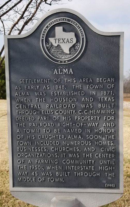
Settlement of this area began as early as 1848. The town of Alma was established in 1871, when the Houston and Texas Central Railroad was built through Ellis County. C.C. Hemming deeded part of his property for the railroad right-of-way and a town to be named in honor of his daughter, Alma. Soon the town included numerous homes, businesses, churches, and civic organizations. It was the center of a farming community until the 1950s, when interstate highway 45 was built through the middle of town.
Erected 1990 by Texas Historical Commission. (Marker Number 7079.)
Topics. This historical marker is listed in these topic lists: Industry & Commerce • Railroads & Streetcars • Settlements & Settlers. A significant historical year for this entry is 1848.
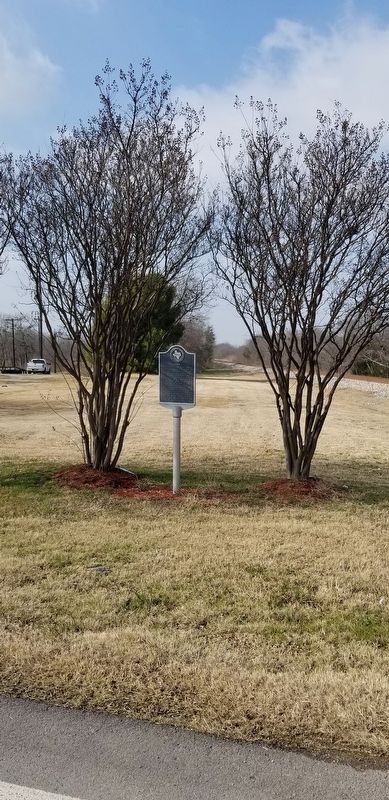
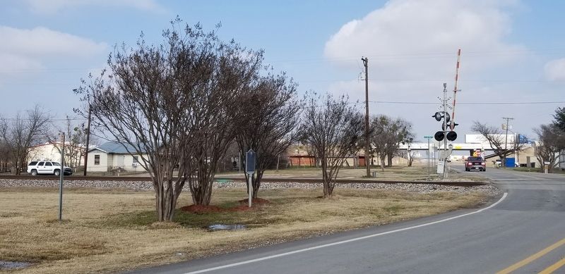
Location. 32° 17.119′ N, 96° 32.8′ W. Marker is in Alma, Texas, in Ellis County. Marker is at the intersection of Farm to Market Road 1183 and Interurban Road, on the right when traveling west on Highway 1183. Touch for map. Marker is in this post office area: Ennis TX 75119, United States of America. Touch for directions.
Other nearby markers. At least 8 other markers are within 6 miles of this marker, measured as the crow flies. Rice Cemetery (approx. 3.7 miles away); Haynes Memorial Methodist Church (approx. 4 miles away); Rice (approx. 4.1 miles away); The Fortson Family (approx. 4.1 miles away); First Baptist Church of Rice (approx. 4.1 miles away); Burnam Square and Cemetery (approx. 5˝ miles away); Ennis City Hall (approx. 5˝ miles away); The Southern Pacific Railroad in Ennis (approx. 5.6 miles away).
Credits. This page was last revised on January 18, 2021. It was originally submitted on January 17, 2021, by James Hulse of Medina, Texas. This page has been viewed 159 times since then and 28 times this year. Photos: 1, 2, 3. submitted on January 18, 2021, by James Hulse of Medina, Texas. • J. Makali Bruton was the editor who published this page.


