Seaford in Sussex County, Delaware — The American Northeast (Mid-Atlantic)
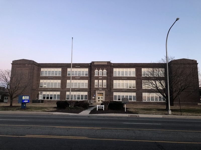
Seaford High School
Erected 2019 by Delaware Public Archives. (Marker Number SC-269.)
Topics and series. This historical marker is listed in this topic list: Education. In addition, it is included in the Delaware Public Archives series list. A significant historical date for this entry is April 1, 1928.
Location. 38° 38.866′ N, 75° 36.728′ W. Marker is in Seaford, Delaware, in Sussex County. Marker is on East Stein Highway (Delaware Route 20) just west of School Lane, on the right when traveling west. Touch for map. Marker is at or near this postal address: 500 E Stein Hwy, Seaford DE 19973, United States of America. Touch for directions.
Other nearby markers. At least 8 other markers are within walking distance of this marker. Seaford Hundred (approx. ¼ mile away); Veterans Memorial (approx. ¼ mile away); Nanticoke Post No. 6 (approx. ¼ mile away); Killed in Action Memorial (approx. 0.3 miles away); Forty & Eight Boxcar (approx. 0.3 miles away); St. John's United Methodist Church (approx. 0.3 miles away); St. Luke's Episcopal Church (approx. 0.3 miles away); Governor William H. H. Ross (approx. 0.3 miles away). Touch for a list and map of all markers in Seaford.
Additional keywords. Jim Crow South

Photographed By Devry Becker Jones (CC0), January 17, 2021
2. Seaford Middle School, formerly Seaford High School
Credits. This page was last revised on January 18, 2021. It was originally submitted on January 18, 2021, by Devry Becker Jones of Washington, District of Columbia. This page has been viewed 221 times since then and 45 times this year. Photos: 1, 2. submitted on January 18, 2021, by Devry Becker Jones of Washington, District of Columbia.
