West Virginia Historic New Deal / CCC Trail
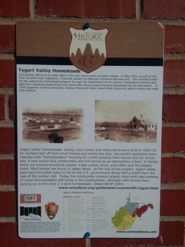
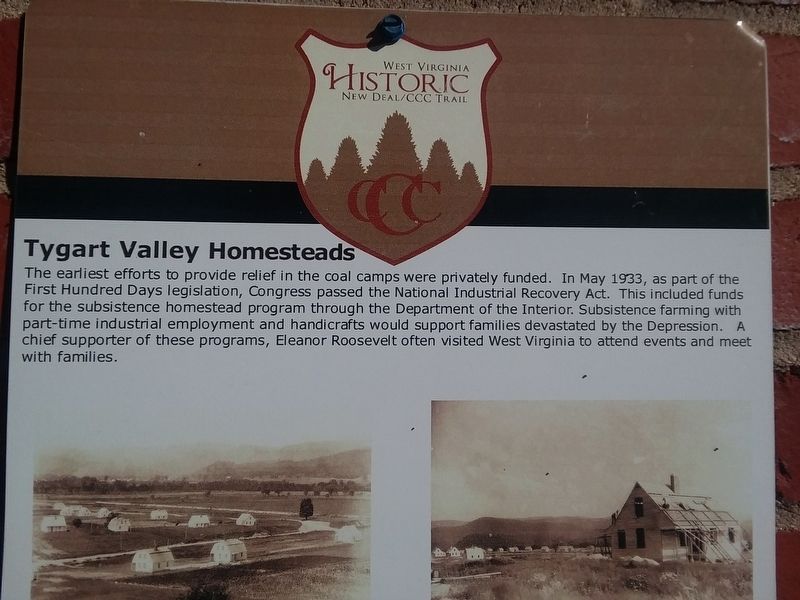
Tygart Valley Homesteads
The earliest efforts to provide relief in the coal camps were privately funded. In May 1933, as part of the First Hundred Days legislation, Congress passed the National Industrial Recovery Act. This included funds for the subsistence homestead program through the Department of the Interior. Subsistence farming with part-time industrial employment and handicrafts would support families devastated by the Depression. A chief supporter of these programs, Eleanor Roosevelt often visited West Virginia to attend events and meet with families.
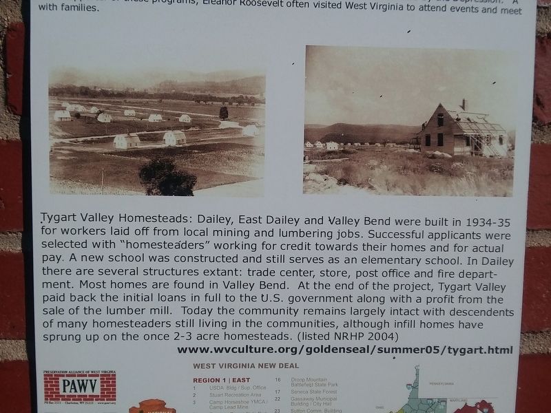
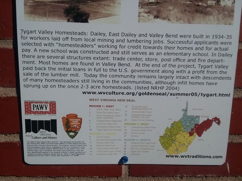
Tygart Valley Homesteads: Dailey, East Dailey and Valley Bend were built in 1934-35 for workers laid off from local mining and lumbering jobs. Successful applicants were selected with "homesteaders” working for credit towards their homes and for actual pay. A new school was constructed and still serves as an elementary school. In Dailey there are several structures extant: trade center, store, post office and fire department. Most homes are found in Valley Bend. At the end of the project, Tygart Valley paid back the initial loans in full to the U.S. government along with a profit from the sale of the lumber mill. Today the community remains largely intact with descendants of many homesteaders still living in the communities, although infill homes have sprung up on the once
2-3 acre homesteads. (listed NRHP 2004)Topics and series. This historical marker is listed in this topic list: Settlements & Settlers. In addition, it is included in the Civilian Conservation Corps (CCC), and the Eleanor Roosevelt series lists. A significant historical month for this entry is May 1933.
Location. 38° 47.35′ N, 79° 54.3′ W. Marker is in Beverly, West Virginia, in Randolph County. Marker is on Seneca Trail (U.S. 250), on the right when traveling north. On the grounds of the Homestead School. Touch for map. Marker is in this post office area: Beverly WV 26253, United States of America. Touch for directions.
Other nearby markers. At least 8 other markers are within 4 miles of this marker, measured as the crow flies. Tygart Valley Homesteads (here, next to this marker); U.S. Homestead (approx. 0.8 miles away); Humboldt Yokum House (approx. 3.8 miles away); Edward Hart House (approx. 3.8 miles away); Isaac Baker House (approx. 3.8 miles away); Birkett-Cresap (approx. 3.9 miles away); Historic Beverly Antique Mall (approx. 3.9 miles away); David Goff House (approx. 3.9 miles away). Touch for a list and map of all markers in Beverly.
Credits. This page was last revised on January 27, 2021. It was originally submitted on January 19, 2021, by Craig Doda of Napoleon, Ohio. This page has been viewed 102 times since then and 20 times this year. Photos: 1, 2, 3, 4, 5. submitted on January 19, 2021, by Craig Doda of Napoleon, Ohio. • Bill Pfingsten was the editor who published this page.


