Girard in Branch County, Michigan — The American Midwest (Great Lakes)
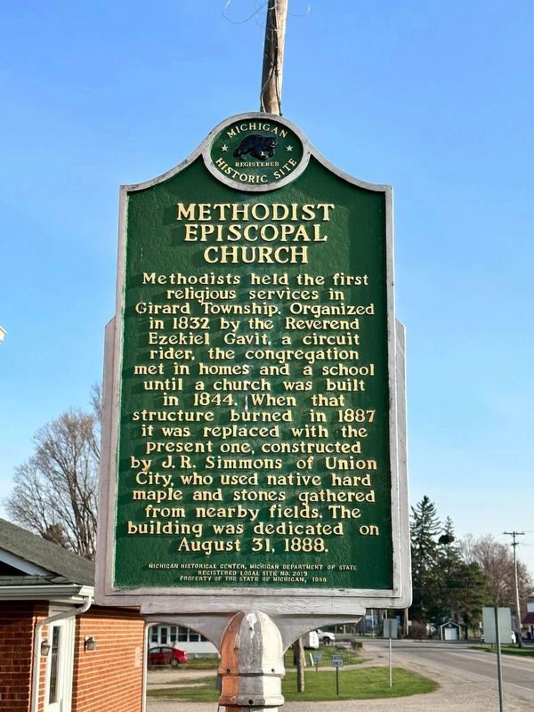
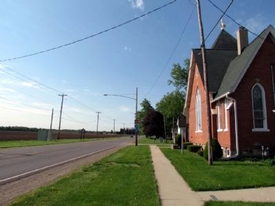
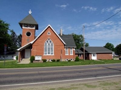
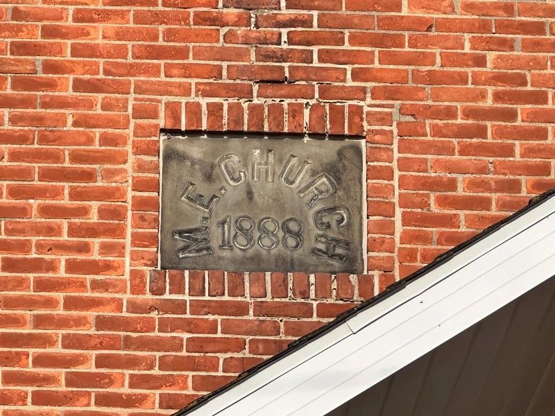
Methodist Episcopal Church
Erected 1998 by Michigan Historical Center, Michigan Department of State. (Marker Number L2015.)
Topics and series. This historical marker is listed in this topic list: Churches & Religion. In addition, it is included in the Michigan Historical Commission series list. A significant historical year for this entry is 1832.
Location. 42° 1.68′ N, 85° 0.063′ W. Marker is in Girard, Michigan, in Branch County. Marker is on Marshall Road (Old U.S. 27) 0.1 miles south of East Girard Road, on the right when traveling south. Touch for map. Marker is at or near this postal address: 990 Marshall Rd, Coldwater MI 49036, United States of America. Touch for directions.
Other nearby markers. At least 8 other markers are within 6 miles of this marker, measured as the crow flies. Te-Kon-Qua-Sha (approx. 4.3 miles away); Tekonsha Village Jail (approx. 4.6 miles away); State Public School at Coldwater / Coldwater Regional Center (approx. 4.6 miles away); Harvey Randall House (approx. 4.7 miles away); Allen Tibbets (approx. 5.9 miles away); First Presbyterian Church (approx. 5.9 miles away); Sovereign Wings (approx. 5.9 miles away); 44th Ill. Infantry (approx. 5.9 miles away).
Credits. This page was last revised on April 13, 2023. It was originally submitted on June 9, 2013, by Duane Hall of Abilene, Texas. This page has been viewed 533 times since then and 12 times this year. Last updated on January 21, 2021, by Craig Doda of Napoleon, Ohio. Photos: 1. submitted on April 13, 2023, by J.T. Lambrou of New Boston, Michigan. 2, 3. submitted on June 9, 2013, by Duane Hall of Abilene, Texas. 4. submitted on April 13, 2023, by J.T. Lambrou of New Boston, Michigan. • Mark Hilton was the editor who published this page.


