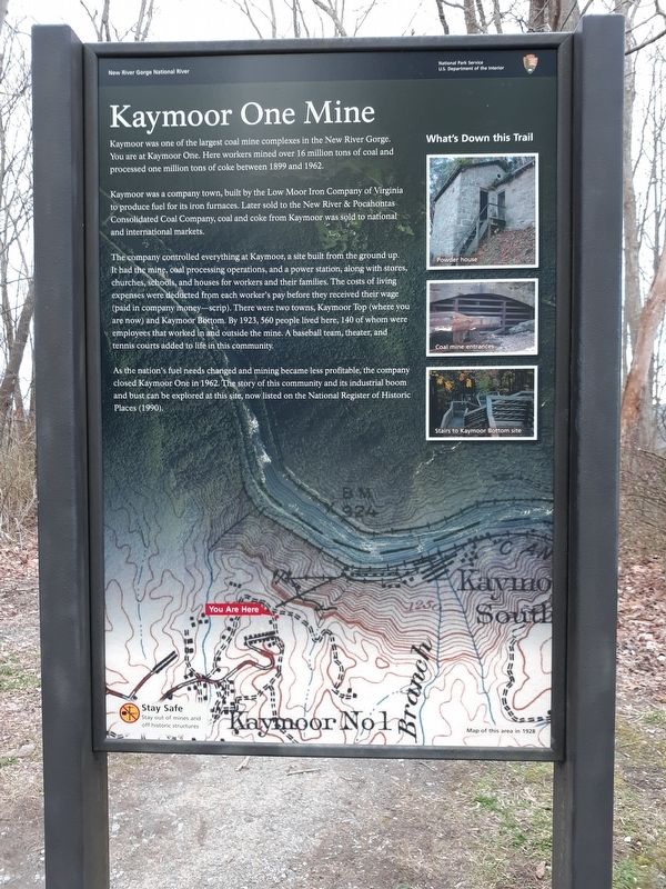
Kaymoor One Mine
Kaymoor was a company town, built by the Low Moor Iron Company of Virginia to produce fuel for its iron furnaces. Later sold to the New River & Pocahontas Consolidated Coal Company, coal and coke from Kaymoor was sold to national and international markets.
The company controlled everything at Kaymoor, a site built from the ground up. It had the mine, coal processing operations, and a power station, along with stores, churches, schools, and houses for workers and their families. The costs of living expenses were deducted from each worker's pay before they received their wage (paid in company money-scrip). There were two towns, Kaymoor Top (where you are now) and Kaymoor Bottom. By 1923, 560 people lived here, 140 of whom were employees that worked in and outside the mine. A baseball team, theater, and tennis courts added to life in this community.
As the nation's fuel needs changed and mining became less profitable, the company closed Kaymoor One in 1962. The story of this community and its industrial boom and bust can be explored at this site, now listed on the National Register of Historic Places
(1990).Topics. This historical marker is listed in this topic list: Industry & Commerce. A significant historical year for this entry is 1899.
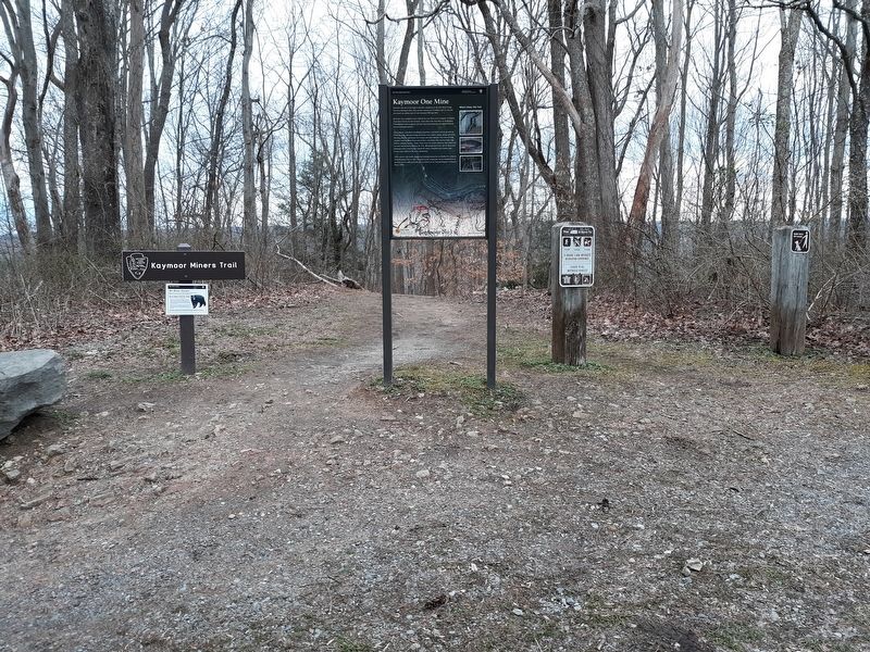
Location. 38° 2.7′ N, 81° 4.05′ W. Marker is in Kaymoor, West Virginia, in Fayette County. Marker is on Kaymoor Road (County Route 9/2), on the right when traveling north. Touch for map. Marker is in this post office area: Fayetteville WV 25840, United States of America. Touch for directions.
Other nearby markers. At least 8 other markers are within walking distance of this marker. Mountain Haulage (within shouting distance of this marker); Protecting Bats (approx. 0.2 miles away); From Top to Bottom (approx. 0.2 miles away); Getting Coal Down (approx. 0.2 miles away); A Busy Bench (approx. 0.2 miles away); Valuable Air (approx. 0.2 miles away); Going Up? (approx. ¼ mile away); Kaymoor Bottom (approx. 0.4 miles away). Touch for a list and map of all markers in Kaymoor.
Credits. This page was last revised on January 22, 2021. It was originally submitted on January 21, 2021, by Craig Doda of Napoleon, Ohio. This page has been viewed 175 times since then and 14 times this year. Photos: 1, 2. submitted on January 21, 2021, by Craig Doda of Napoleon, Ohio. • J. Makali Bruton was the editor who published this page.

