Forsyth in Rosebud County, Montana — The American West (Mountains)
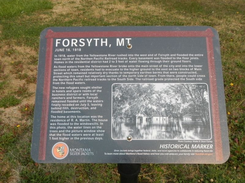
Forsyth, MT
June 16, 1918
As flood waters from the Yellowstone River broke onto the main street of the city and into the lower sections of town, residents had to evacuate to the higher ground to the east on two blocks of of Main Street which remained relatively dry thanks to temporary earthen berms that were constructed, protecting this small but important section of the north side of town. From there, people could cross the Northern Pacific railroad tracks to the South Side. The railroad grade protected the South side from the flood waters.
The new refugees sought shelter in hotels and spare rooms of the business district or with local ranchers and farmers. Forsyth remained flooded until the waters finally receded on July 5, leaving behind fifth, destruction, and flooded basements.
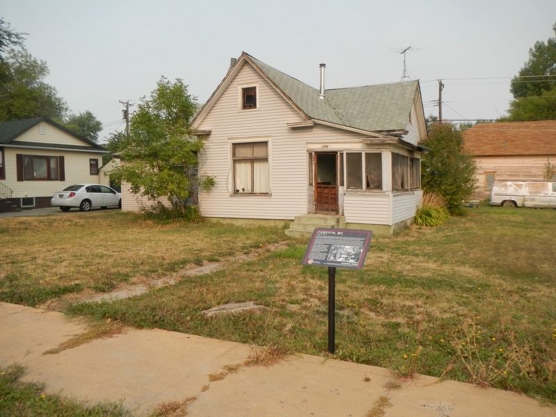
The home at this location was the residence of R.A. Martin. The house was flooded to the windowsills. In this photo, the water lines on trees and the picture window show that the flood waters were at least one foot higher in the previous days.
Erected by Montana Silver Jackets.
Topics. This historical marker is listed in this topic list: Disasters. A significant historical date for this entry is June 16, 1918.
Location. 46° 15.838′ N, 106° 40.989′ W. Marker is in Forsyth, Montana, in Rosebud County. Marker is on Main Street near 6th Avenue North, on the right when traveling west. Touch for map. Marker is at or near this postal address: 587 Main Street, Forsyth MT 59327, United States of America. Touch for directions.
Other nearby markers. At least 8 other markers are within walking distance of this marker. A different marker also named Forsyth, MT (approx. 0.2 miles away); Commercial Hotel (approx. 0.2 miles away); Railroad Survey of 1873 (approx. 0.2 miles away); Hiram Marcyes Park (approx. 0.2 miles away); Brotherhood of Locomotive Engineers Hall (approx. 0.2 miles away); Kennedy-Fletcher Block (approx. 0.2 miles away); a different marker also named Forsyth, MT (approx. ¼ mile away); Choisser Block (approx. ¼ mile away). Touch for a list and map of all markers in Forsyth.
Credits. This page was last revised on January 21, 2021. It was originally submitted on January 21, 2021, by Barry Swackhamer of Brentwood, California. This page has been viewed 148 times since then and 34 times this year. Photos: 1, 2. submitted on January 21, 2021, by Barry Swackhamer of Brentwood, California.

