Thurmond, West Virginia
New River Gorge National River
| — | National Park Service, U.S. Department of the Interior | — |
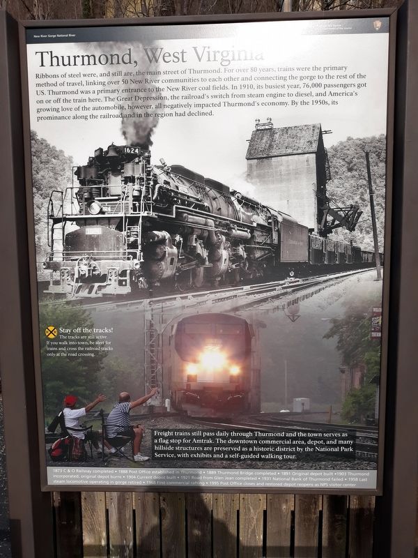
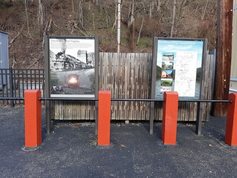
Ribbons of steel were, and still are, the main street of Thurmond. For over 80 years, trains were the primary method of travel, linking over 50 New River communities to each other and connecting the gorge to the rest of the US. Thurmond was a primary entrance to the New River coal fields. In 1910, its busiest year, 76,000 passengers got on or off the train here. The Great Depression, the railroad's switch from steam engine to diesel, and America's growing love of the automobile, however, all negatively impacted Thurmond's economy. By the 1950s, its prominence along the railroad and in the region had declined.
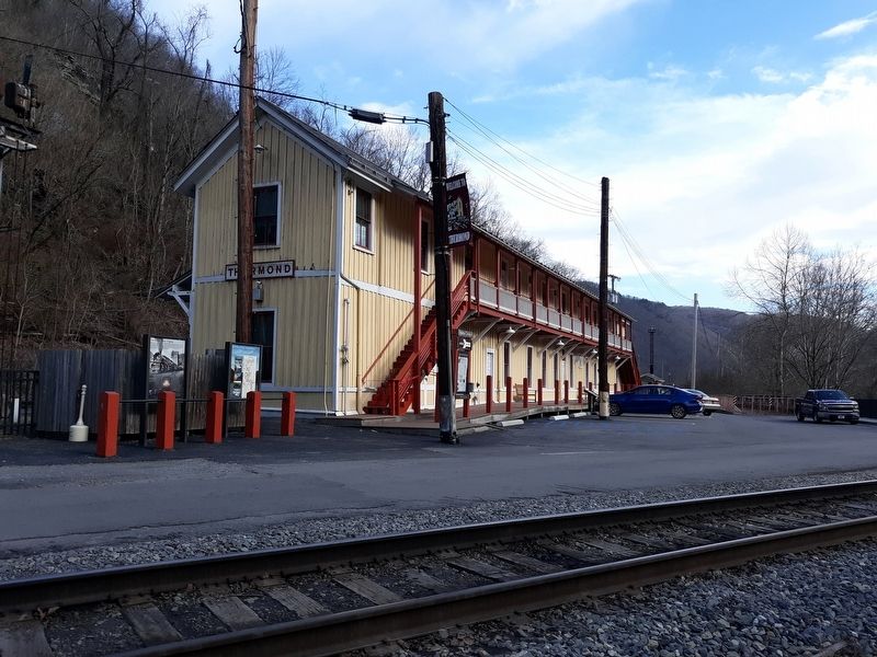
Freight trains still pass daily through Thurmond and the town serves as a flag stop for Amtrak. The downtown commercial area, depot, and many hillside structures are preserved as a historic district by the National Park Service, with exhibits and a self-guided walking tour.
1873 C & O Railway completed •
1888 Post Office established in Thurmond •
1889 Thurmond Bridge completed •
1891 Original depot built •
1903 Thurmond incorporated, original depot burns •
1904 Current depot built •
1921 Road from Glen Jean completed •
1931 National Bank of Thurmond failed •
1958 Last steam locomotive operating in gorge retired •
1968 First commercial rafting •
1995 Post Office closes and restored depot reopens as NPS visitor center
Erected by National
this page online
Topics. This historical marker is listed in these topic lists: Communications • Industry & Commerce • Railroads & Streetcars • Settlements & Settlers. A significant historical year for this entry is 1910.
Location. 37° 57.438′ N, 81° 4.742′ W. Marker is in Thurmond, West Virginia, in Fayette County. It is on Thurmond Road (County Road 25/2) 0.1 miles south of Beury Mountain Road (County Road 25/2), on the right when traveling north. The marker is near the Thurmond Depot Visitor Center. Touch for map. Marker is in this post office area: Thurmond WV 25936, United States of America. Touch for directions.

Regionally, this marker is in the New River Gorge and in Greater Charleston Area. It is also in the American South, specifically in the Upper South, in Appalachia, and specifically in Southern Appalachia. Globally, it is in North America, the Western Hemisphere, the Western World, and the Anglosphere. Historically, it finds itself in what was once the territory of the Mississippian Culture.
Other nearby markers. At least 8 other markers are within walking distance
Other markers no longer nearby. Thurmond, West Virginia (was here, next to this marker but has been permanently removed); Thurmond Depot (was within shouting distance of this marker but has been permanently removed).
Credits. This page was last revised on January 22, 2021. It was originally submitted on January 21, 2021, by Craig Doda of Napoleon, Ohio. This page has been viewed 453 times since then and 42 times this year. Photos: 1, 2, 3. submitted on January 21, 2021, by Craig Doda of Napoleon, Ohio. • Devry Becker Jones was the editor who published this page.
