New River Gorge Scenic Drives
New River Gorge National River
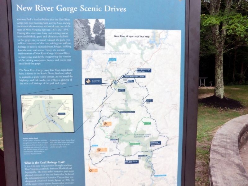
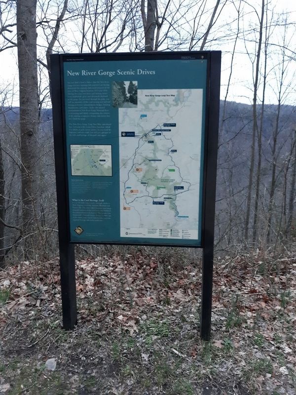
The New River Gorge Loop Tour Map, reproduced here, is found in the Scenic Drives brochure, which is available at park visitor centers. As you travel the highways and side roads, you will get a glimpse of the rich coal heritage of the park and region.
(Inscription below the map on the lower left) Fayette Station Road-Small exhibits, located at pull-offs along Fayette Station Road, interpret the history of the immediate area, including coal mining, the railroads, and the
this page online
If you drive the Fayette Station Road Auto Tour, allow at least one hour if you plan to stop at all of the exhibits along the route.
What is the Coal Heritage Trail? It is a 146-mile long journey through southern West Virginia coalfields, between Bluefield and Fayetteville. The route takes motorists past many physical remnants of the coal boom that furthered the industrialization of America. The corridor was designated a National Scenic Byway in 1998, one of the many routes across America that showcase this land.
Erected by National Park Service, U.S. Department of the Interior.
Topics and series. This historical marker is listed in these topic lists: Bridges & Viaducts • Industry & Commerce • Railroads & Streetcars. In addition, it is included in the Coal Heritage Trail series list. A significant historical year for this entry is 1875.
Location. 38° 4.202′ N, 81° 4.564′ W. Marker is in Lansing, West Virginia, in Fayette County. It is on Visitor Center Road. The marker is located on the grounds of Canyon Rim Visitor Center, New River

Regionally, this marker is in the New River Gorge and in Greater Charleston Area. It is also in the American South, specifically in the Upper South, in Appalachia, and specifically in Southern Appalachia. Globally, it is in North America, the Western Hemisphere, the Western World, and the Anglosphere. Historically, it finds itself in what was once the territory of the Mississippian Culture.
Other nearby markers. At least 8 other markers are within walking distance of this marker: The Deceptive Forest (a few steps from this marker); New River (a few steps from this marker); Smoke, Coke, Coal, and Kaymoor (a few steps from this marker); Welcome to New River Gorge National River (a few steps from this marker); Industrial Past of the New River Gorge (within shouting distance of this marker); Trail to Bridge Overlook (within shouting distance of this marker); The Bridge (within shouting distance of this marker); New River Gorge Bridge (within shouting distance of this marker). Touch for a list and map
Credits. This page was last revised on January 22, 2021. It was originally submitted on November 26, 2016, by Don Morfe of Baltimore, Maryland. This page has been viewed 714 times since then and 36 times this year. Last updated on January 21, 2021, by Bradley Owen of Morgantown, West Virginia. Photos: 1. submitted on November 26, 2016, by Don Morfe of Baltimore, Maryland. 2. submitted on January 20, 2021, by Craig Doda of Napoleon, Ohio. 3, 4, 5, 6. submitted on November 26, 2016, by Don Morfe of Baltimore, Maryland. • J. Makali Bruton was the editor who published this page.
