Near Sanders in Treasure County, Montana — The American West (Mountains)
Sanders Gymnasium
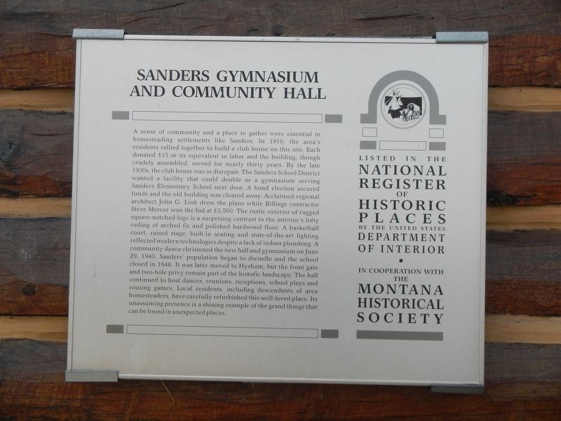
Photographed by Barry Swackhamer, September 14, 2020
1. Sanders Gymnasium Marker
this page online
Erected by Montana Historical Society.
Topics and series. This historical marker is listed in these topic lists: Architecture • Sports. In addition, it is included in the Montana National Register Sign Program series list. A significant historical date for this entry is June 29, 1940.
Location. 46° 17.453′ N, 107° 6.119′ W. Marker is near Sanders, Montana, in Treasure County. It is on Old Highway 10 near Mackley Road, on the left when traveling west. Touch for map. Marker is at or near this postal address: 596 Old Highway 10 East, Sanders MT 59076, United States of America. Touch for directions.

Regionally, this marker is in andspecifically outheast Montana in Custer Country. It is also in the American Mountain West, in the Lewis & Clark Corridor, on the prairies,
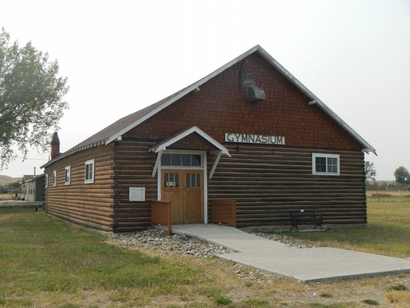
Photographed by Barry Swackhamer, September 14, 2020
2. Sanders Gymnasium and Marker
Other nearby markers. At least 7 other markers are within 10 miles of this marker, measured as the crow flies: The Yellowstone Valley (approx. 2.8 miles away); Fort Pease (approx. 6.2 miles away); Yucca Theatre and David M. Manning Residence (approx. 6.2 miles away); Jedediah Smith (approx. 8.7 miles away); a different marker also named Jedediah Smith (approx. 8.7 miles away); Hysham and Treasure County (approx. 8.7 miles away); Howard School (approx. 9.8 miles away).
Credits. This page was last revised on December 27, 2024. It was originally submitted on January 22, 2021, by Barry Swackhamer of Brentwood, California. This page has been viewed 220 times since then and 23 times this year. Photos: 1, 2. submitted on January 22, 2021, by Barry Swackhamer of Brentwood, California.
