
Brenham in Washington County, Texas — The American South (West South Central)
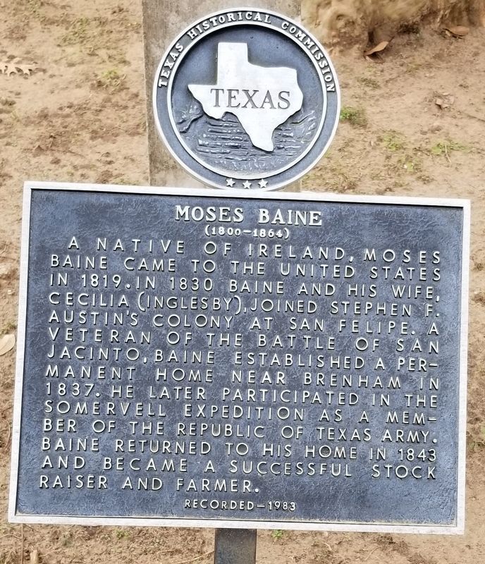
Moses Baine
(1800 - 1864)
Photographed by James Hulse, January 19, 2021
1. Moses Baine Marker
A native of Ireland, Moses Baine came to the United States in 1819. In 1830 Baine and his wife, Cecilia (Inglesby), joined Stephen F. Austin's colony at San Felipe. A veteran of the Battle of San Jacinto, Baine established a permanent home near Brenham in 1837. He later participated in the Somervell Expedition as a member of the Republic of Texas Army. Baine returned to his home in 1843 and became a successful stock raiser and farmer.
Recorded - 1983
Erected 1983 by Texas Historical Commission. (Marker Number 8294.)
Topics. This historical marker is listed in these topic lists: Settlements & Settlers • War, Texas Independence. A significant historical year for this entry is 1819.
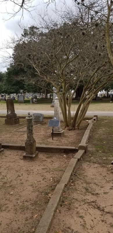
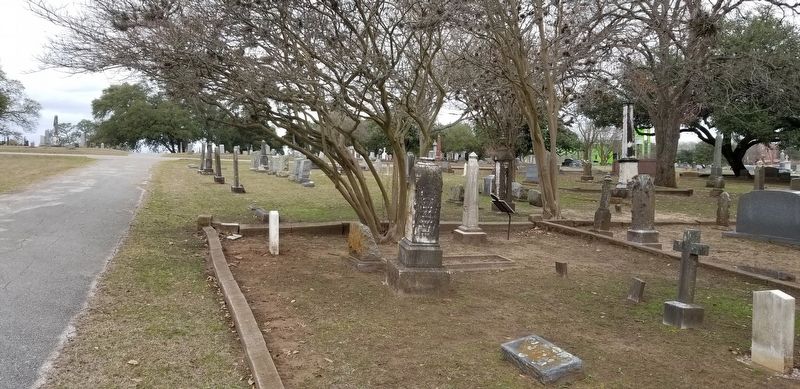
Location. 30° 9.33′ N, 96° 24.517′ W. Marker is in Brenham, Texas, in Washington County. It can be reached from the intersection of Prairie Lea Street and Joseph Street. The marker is located in the south east section of the Lea Prairie Cemetery near the road. Touch for map. Marker is at or near this postal address: 1004 Prairie Lea Street, Brenham TX 77833, United States of America. Touch for directions.

Regionally, this marker is in the
this page online
Other nearby markers. At least 8 other markers are within walking distance of this marker: George Washington Petty (a few steps from this marker); Prairie Lea Cemetery (about 300 feet away, measured in a direct line); Mills Roberson “Burney” Parker (about 400 feet away); Blinn College (approx. 0.3 miles away); Brenham Presbyterian Church (approx. 0.4 miles away); Mt. Zion United Methodist Church (approx. half a mile away); Hogan Funeral Home (approx. 0.6 miles away); St. Paul’s Evangelical Lutheran Church (approx. 0.7 miles away). Touch for a list and map of all markers in Brenham.
Also see . . .
1. Moses Baine. Baine's family records, they resided nine miles from San Felipe, and according to family tradition, their house was the only one in the colony that had glass panes in its windows. Also according
Photographed by James Hulse, January 19, 2021
2. Moses Baine Marker and gravestone
2. Battle of San Jacinto. The battle of San Jacinto was the concluding military event of the Texas Revolution. Source: The Handbook of Texas (Submitted on January 23, 2021, by James Hulse of Medina, Texas.)
Photographed by James Hulse, January 19, 2021
3. The Moses Baine Marker is along the Cemetery road
Credits. This page was last revised on January 23, 2021. It was originally submitted on January 23, 2021, by James Hulse of Medina, Texas. This page has been viewed 314 times since then and 33 times this year. Photos: 1, 2, 3. submitted on January 23, 2021, by James Hulse of Medina, Texas. • J. Makali Bruton was the editor who published this page.
