Near Oak Grove in Christian County, Kentucky — The American South (East South Central)
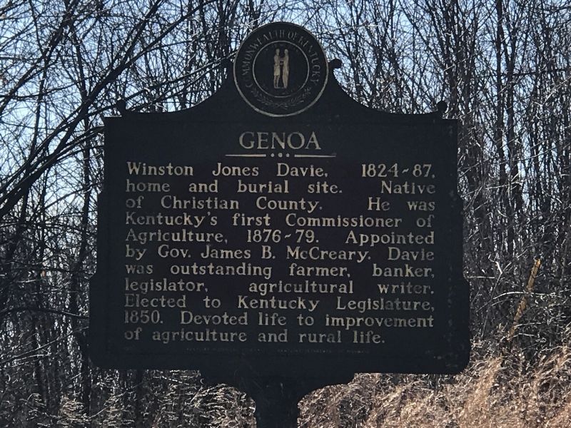
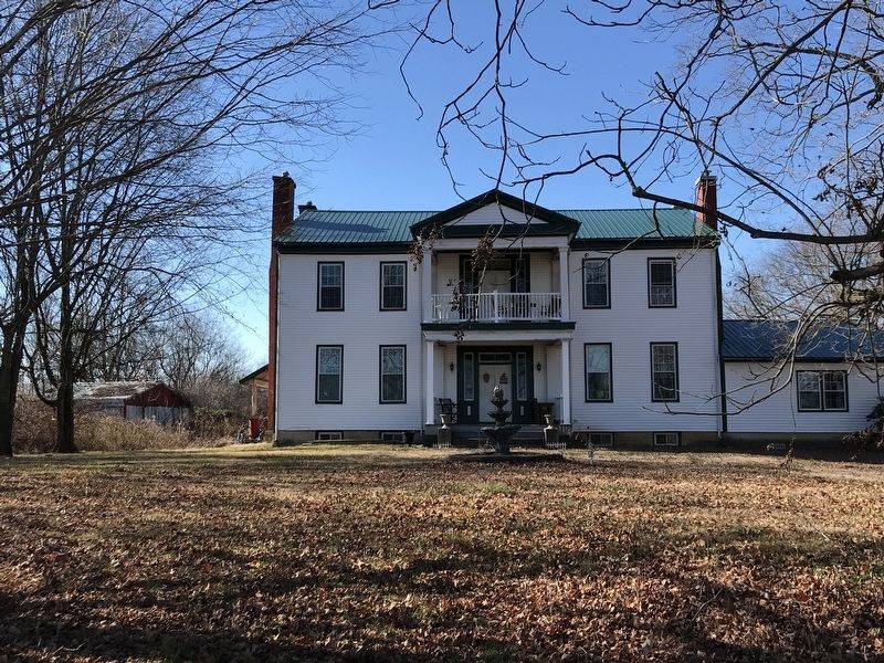
Genoa
Erected by Kentucky Historical Society and Kentucky Department of Highways. (Marker Number 851.)
Topics and series. This historical marker is listed in this topic list: Government & Politics. In addition, it is included in the Kentucky Historical Society series list. A significant historical year for this entry is 1850.
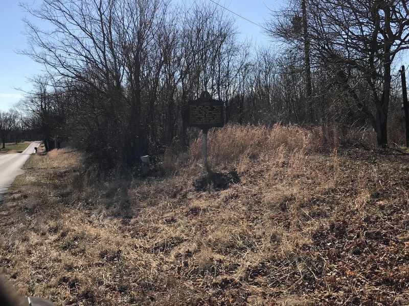
Location. 36° 43.154′ N, 87° 31.893′ W. Marker is near Oak Grove, Kentucky, in Christian County. Marker is on Palmyra Road (State Road 345) ¾ mile south of Fentress Lane, on the right when traveling south. Touch for map. Marker is at or near this postal address: 10788 Palmyra Road, Oak Grove KY 42262, United States of America. Touch for directions.
Other nearby markers. At least 8 other markers are within 9 miles of this marker, measured as the crow flies. U.S. Vice President (approx. 1.6 miles away); Pennyrile Rural Electric Cooperative Corporation (approx. 2.1 miles away); No-Tillage Farming (approx. 3.6 miles away); Church Hill Grange House (approx. 6.1 miles away); Old Post House (approx. 7.9 miles away in Tennessee); Bethel Meeting House (approx. 8 miles away in Tennessee); Gas Station, established after the turn of the 20th Century (approx. 8.1 miles away); Livery Stable, late 1800's (approx. 8.1 miles away).
Also see . . . Winston Jones Davie (Wikipedia). (Submitted on January 24, 2021, by Duane and Tracy Marsteller of Murfreesboro, Tennessee.)
Credits. This page was last revised on January 24, 2021. It was originally submitted on January 24, 2021, by Duane and Tracy Marsteller of Murfreesboro, Tennessee. This page has been viewed 346 times since then and 76 times this year. Photos: 1, 2, 3. submitted on January 24, 2021, by Duane and Tracy Marsteller of Murfreesboro, Tennessee.


