Pine Plains in Dutchess County, New York — The American Northeast (Mid-Atlantic)
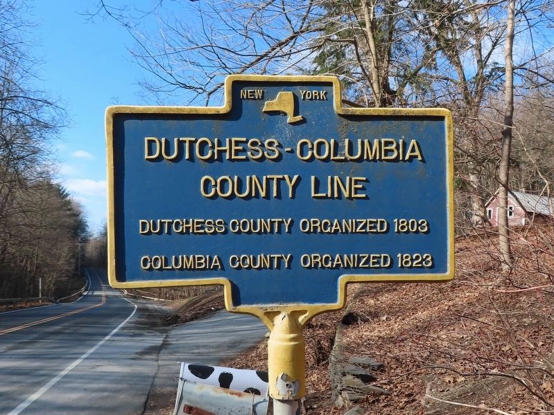
Dutchess-Columbia County Line
County Line
Dutchess County organized 1803
Columbia County organized 1823
Topics. This historical marker is listed in this topic list: Political Subdivisions. A significant historical year for this entry is 1803.
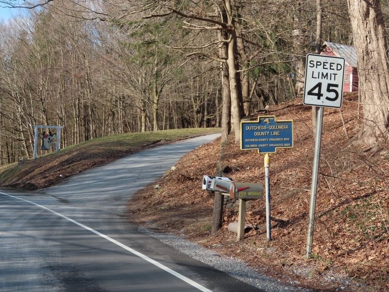
Location. 42° 0.226′ N, 73° 42.007′ W. Marker is in Pine Plains, New York, in Dutchess County. Marker is on Mt. Ross Hill Road (County Route 50) 0.8 miles west of New York State Route 199, on the right when traveling west. Touch for map. Marker is at or near this postal address: 159 Mt Ross Hill Road, Pine Plains NY 12567, United States of America. Touch for directions.
Other nearby markers. At least 8 other markers are within 2 miles of this marker, measured as the crow flies. Town and County Line (approx. 0.4 miles away); Mount Ross (approx. 0.8 miles away); Historic Farm (approx. 0.9 miles away); a different marker also named Town and County Line (approx. one mile away); Dings Cemetery (approx. one mile away); Dings House (approx. one mile away); Training Ground (approx. one mile away); Church Cemetery (approx. 1.1 miles away). Touch for a list and map of all markers in Pine Plains.
Credits. This page was last revised on January 29, 2021. It was originally submitted on January 18, 2020, by Michael Herrick of Southbury, Connecticut. This page has been viewed 207 times since then and 44 times this year. Last updated on January 26, 2021, by Bradley Owen of Morgantown, West Virginia. Photos: 1, 2. submitted on January 18, 2020, by Michael Herrick of Southbury, Connecticut. • Bill Pfingsten was the editor who published this page.

