Near Worden in Yellowstone County, Montana — The American West (Mountains)
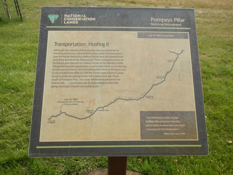
Transportation: Hoofing It
July 16, 1806 Encampment
"I had Mockersons made of green Buffalow Skin and put on their feet which seams to relieve them very much in passing over the Stoney plains." - William Clark, July 16, 1806
Erected by Bureau of Land Management and National Conservation Lands.
Topics and series. This historical marker is listed in these topic lists: Animals • Exploration. In addition, it is included in the Lewis & Clark Expedition series list. A significant historical date for this entry is July 16, 1806.
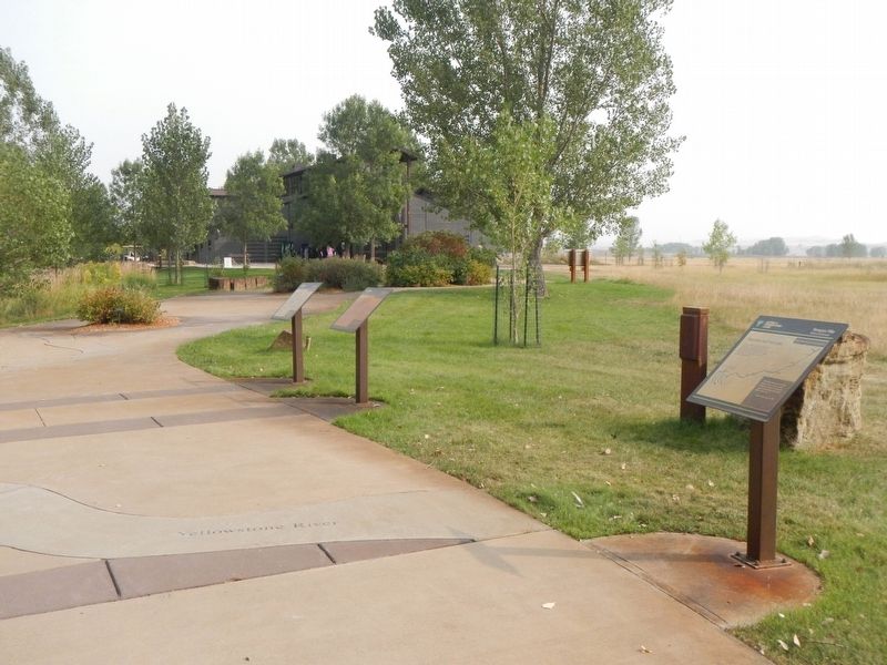
Location. 45° 59.708′ N, 108° 0.189′ W. Marker is near Worden, Montana, in Yellowstone County. Marker can be reached from State Highway 312 near South 31st Road, on the right when traveling west. This marker is on The "Yellowstone River" Walkway at Pompeys Pillar National Monument. Touch for map. Marker is at or near this postal address: 3001 Highway 312, Worden MT 59088, United States of America. Touch for directions.
Other nearby markers. At least 8 other markers are within walking distance of this marker. Transportation: Traveling Downstream (here, next to this marker); Three Forks: Clark's Party Splits (here, next to this marker); Yellowstone River: A Water Expressway (here, next to this marker); Injury Forces a Halt to Build Canoes (within shouting distance of this marker); Preparations of Continuing the Trip (within shouting distance of this marker); Clark's Canoe Camp on the Yellowstone, Archaeology Study (within shouting distance of this marker); Using Modern Mapping Technology to Help Solve a 200 Year-Old Mystery (within shouting distance of this marker); Making Canoes, Then and Now (within shouting distance of this marker). Touch for a list and map of all markers in Worden.
Credits. This page was last revised on January 27, 2021. It was originally submitted on January 27, 2021, by Barry Swackhamer of Brentwood, California. This page has been viewed 90 times since then and 12 times this year. Photos: 1, 2. submitted on January 27, 2021, by Barry Swackhamer of Brentwood, California.

