Near Milburn in Defiance County, Ohio — The American Midwest (Great Lakes)
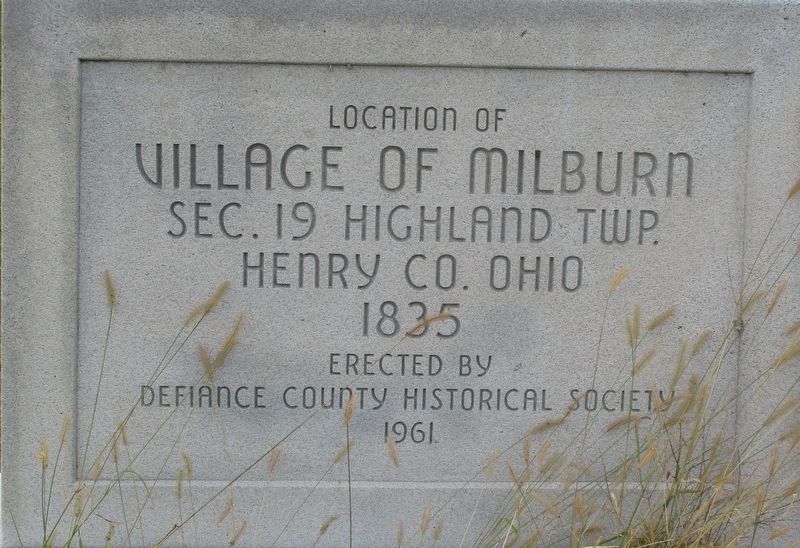
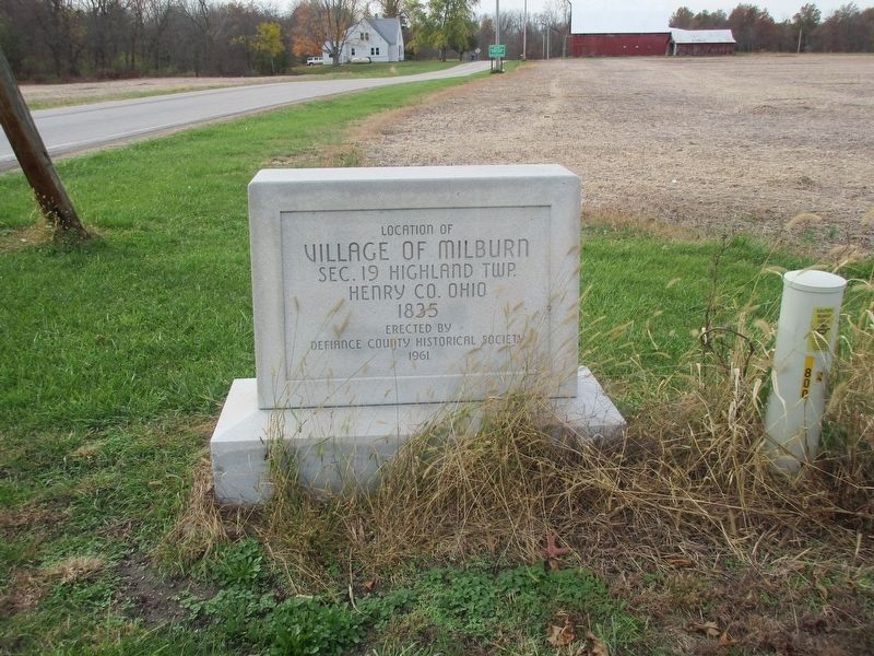
Location of The Village of Milburn
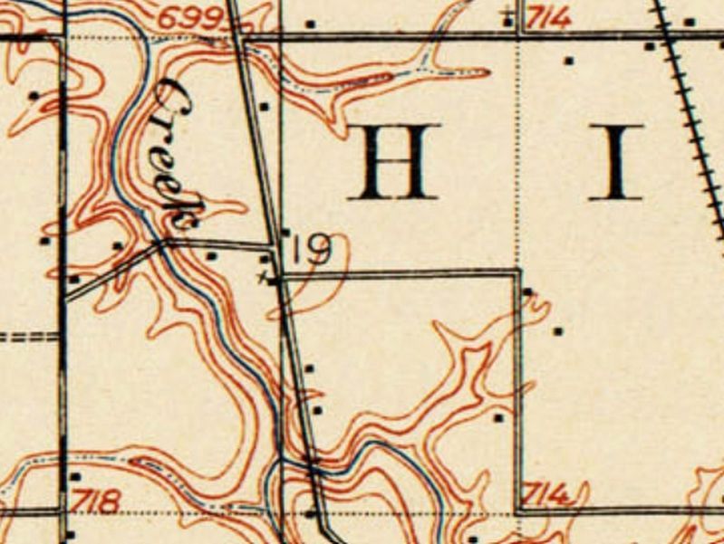
Sec. 19 Highland Twp.
Henry Co. Ohio
1835
Erected 1961 by Defiance County Historical Society.
Topics. This historical marker is listed in this topic list: Settlements & Settlers.
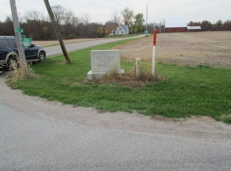
Location. 41° 12.162′ N, 84° 20.012′ W. Marker is near Milburn, Ohio, in Defiance County. Marker is at the intersection of Ohio Route 15 and Holly Road (County Route 9), on the right when traveling south on State Route 15. Touch for map. Marker is at or near this postal address: 16399 Route 15, Defiance OH 43512, United States of America. Touch for directions.
Other nearby markers. At least 8 other markers are within 6 miles of this marker, measured as the crow flies. Site of Southerton Station (approx. 2.1 miles away); Joshua A. Ramsey Memorial (approx. 2˝ miles away); Highland-South Richland Township Veterans Memorial (approx. 3.6 miles away); Lawson-Roessner Funeral Home Veterams Memorial (approx. 4.9 miles away); Defiance County Soldiers' & Sailors' Monument (approx. 5.3 miles away); Veterans Memorial (approx. 5.4 miles away); Charles Elihu Slocum, M.D. (approx. 5.4 miles away); Riverside Chapel (approx. 5.4 miles away).
Credits. This page was last revised on February 3, 2021. It was originally submitted on October 30, 2020, by Rev. Ronald Irick of West Liberty, Ohio. This page has been viewed 240 times since then and 48 times this year. Last updated on January 29, 2021, by Craig Doda of Napoleon, Ohio. Photos: 1, 2, 3, 4, 5. submitted on October 30, 2020, by Rev. Ronald Irick of West Liberty, Ohio. • Devry Becker Jones was the editor who published this page.


