Near Sdot Yam in Hadera, Haifa District, Israel — West Asia (the Levant in the Middle East)
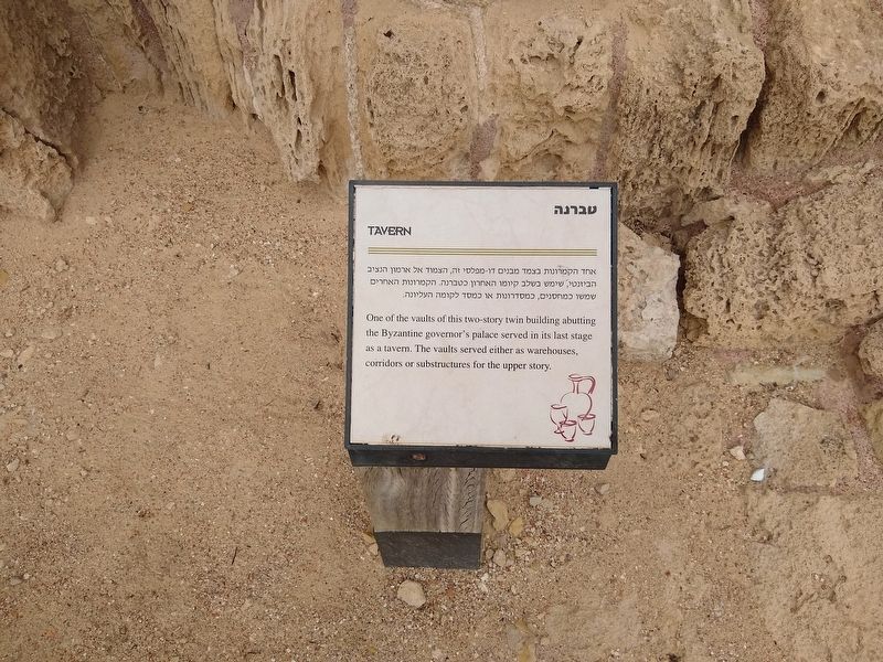
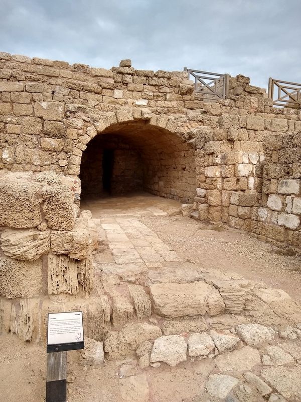
Tavern
Photographed by Tom Bosse, December 3, 2019
1. Tavern Marker

אחד הקמרונות בצמד מבנים דו-מפלסי זה, הצמוד אל ארמון הנציב הביזנטי, שימש בשלב קיומו האחרון כטברנה. הקמרונות האחרים שמשו כמחסנים, כמסדרונות או כמסד לקומה
this page online
Topics. This historical marker is listed in this topic list: Industry & Commerce.
Location. 32° 30′ N, 34° 53.465′ E. Marker is near Sdot Yam, Haifa District, in Hadera. It can be reached from Israel National Trail, on the left when traveling north. The marker is located within the Caesarea National Park. Touch for map. Touch for directions.

Regionally, it is in Asia, specifically in West Asia, in the Middle East, in The Levant, on the Red Sea, in a coastal Mediterranean country, and in the Western World. Historically, it finds itself in what was once the Byzantine Empire, the Ottoman Empire, a British Mandate, and the Roman Empire.
Other nearby markers. At least 8 other markers are within walking distance of this marker: The Palace Vaults (a few steps from this marker); King Herod's 'Hippodrome' (a few steps from this marker); The Chariot-Races (a few steps from this marker); The Governor's Palace Baths (within shouting distance of this marker); The Bathhouse (about 120 meters away, measured in a direct line); Inscribed Sarcophagus adorned with Garlands
Photographed by Tom Bosse, December 3, 2019
2. Tavern Marker
Credits. This page was last revised on February 9, 2021. It was originally submitted on February 4, 2021, by Tom Bosse of Jefferson City, Tennessee. This page has been viewed 169 times since then and 12 times this year. Photos: 1, 2. submitted on February 4, 2021, by Tom Bosse of Jefferson City, Tennessee. • J. Makali Bruton was the editor who published this page.
