Near Hesperia in San Bernardino County, California — The American West (Pacific Coastal)
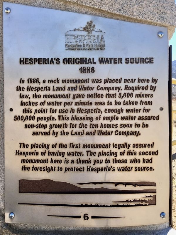
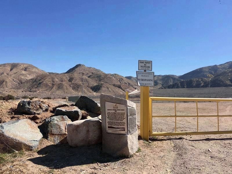
Hesperia’s Original Water Source
1886
Erected 1995 by Hesperia Recreation and Park District. (Marker Number 6.)
Topics. This historical marker is listed in these topic lists: Natural Resources • Settlements & Settlers. A significant historical year for this entry is 1886.
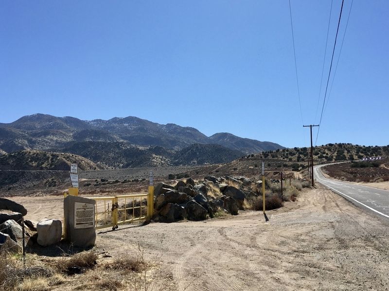
Location. 34° 21.074′ N, 117° 14.874′ W. Marker is near Hesperia, California, in San Bernardino County. Marker is on Arrowhead Lake Road north of Welsh Road, on the right when traveling north. Touch for map. Marker is in this post office area: Hesperia CA 92345, United States of America. Touch for directions.
Other nearby markers. At least 8 other markers are within 6 miles of this marker, measured as the crow flies. Atongai Indian Village (here, next to this marker); Mojave Indian Trail / Hesperia Lakes (approx. 2.3 miles away); Holcomb Valley Road (approx. 4 miles away); Las Flores Ranch / Mojave Trail (approx. 5.1 miles away); Original Water Supply Ditch (approx. 5.1 miles away); Las Flores Ranch Barn (approx. 5.2 miles away); Old School House (approx. 5.6 miles away); Walters Store & House (approx. 5.9 miles away). Touch for a list and map of all markers in Hesperia.
Regarding Hesperia’s Original Water Source. Western placer miners measure water in miner’s inches, the quantity of water that will flow in one minute through an opening one inch square. In California, as established by law, 40 miner’s inches equals 1 cubic foot per second.
The original water supply system included a 5-mile open ditch from Deep Creek, and another 7 miles of 14" riveted pipe, upgraded to a 30" pipe in 1912.
Credits. This page was last revised on February 14, 2021. It was originally submitted on February 8, 2021, by Craig Baker of Sylmar, California. This page has been viewed 345 times since then and 36 times this year. Photos: 1, 2. submitted on February 8, 2021, by Craig Baker of Sylmar, California. 3. submitted on February 9, 2021, by Craig Baker of Sylmar, California. • J. Makali Bruton was the editor who published this page.


