Causeway
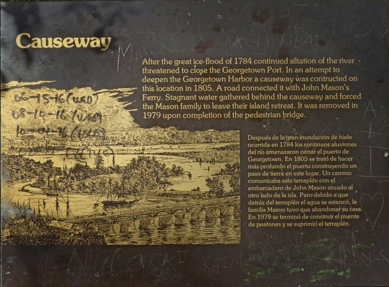
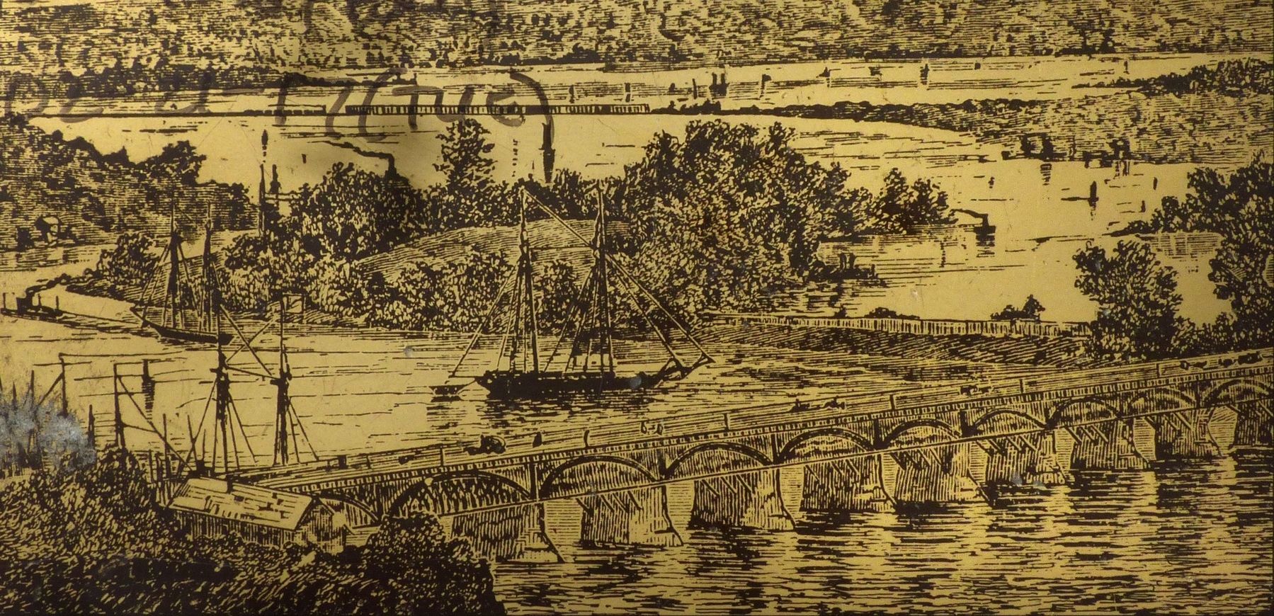
After the great ice-flood of 1784 continued siltation of the river threatened to close the Georgetown Port. In an attempt to deepen the Georgetown Harbor a causeway was constructed on this location in 1805. A road connected it with John Mason's Ferry. Stagnant water gathered behind the causeway and forced the Mason family to leave their island retreat. It was removed in 1979 upon completion of the pedestrian bridge.
Topics. This historical marker is listed in this topic list: Bridges & Viaducts. A significant historical year for this entry is 1805.
Location. 38° 53.946′ N, 77°
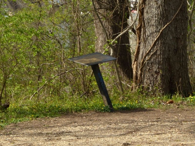
3.99′ W. Marker is in Northwest Washington in Washington, District of Columbia. It is on Theodore Roosevelt Island. Marker is on Swamp Trail, on the right when traveling west. On Roosevelt Island. Touch for map. Marker is in this post office area: Washington DC 20007, United States of America. Touch for directions.
Other nearby markers. At least 8 other markers are within walking distance of this marker. Rough and Ready (about 800 feet away, measured in a direct line); Theodore Roosevelt (approx. 0.2 miles away); Making the Memorial (approx. 0.2 miles away); Force of Nature (approx. ¼ mile away in Virginia); American Indian Villages and Captain John Smith (approx. ¼ mile away in Virginia); Mount Vernon Trail (approx. ¼ mile away in Virginia); From Seaport to National Park (approx. 0.3 miles away); How High is the River? (approx. 0.3 miles away). Touch for a list and map of all markers in Northwest Washington.
Regarding Causeway. Inscription given in English, then Spanish.

Credits. This page was last revised on January 30, 2023. It was originally submitted on April 6, 2017, by Allen C. Browne of Silver Spring, Maryland. This page has been viewed 485 times since then and 17 times this year. Last updated on February 8, 2021, by Carl Gordon Moore Jr. of North East, Maryland. Photos: 1, 2, 3. submitted on April 6, 2017, by Allen C. Browne of Silver Spring, Maryland. 4. submitted on April 7, 2017, by Allen C. Browne of Silver Spring, Maryland. • Devry Becker Jones was the editor who published this page.


