Lovelock in Pershing County, Nevada — The American Mountains (Southwest)
Crazy Corners Saloon
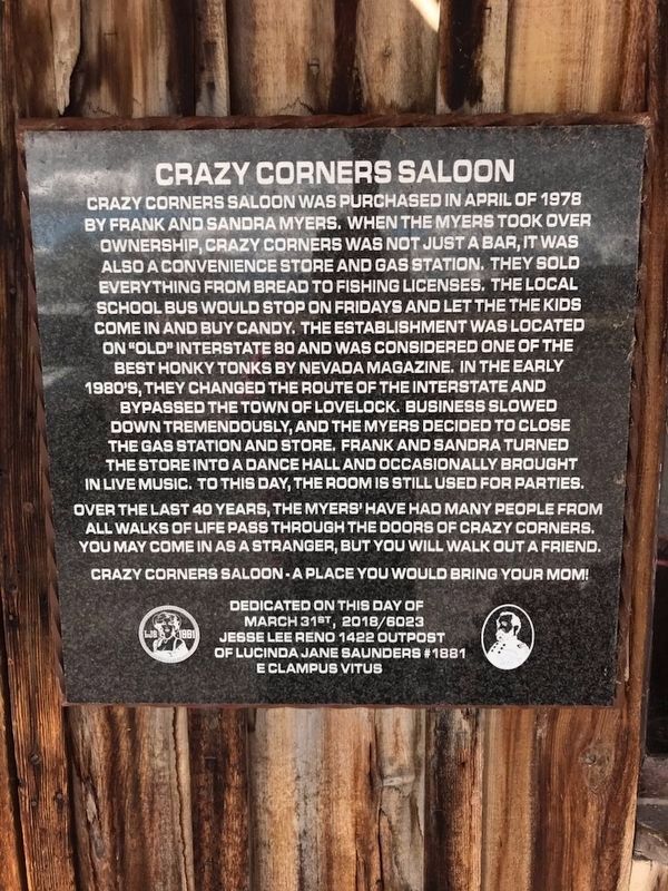
Crazy Corners Saloon was purchased in April of 1978 by Frank and Sandra Myers. When the Myers took over ownership Crazy Corners was not just a bar, it was also a convenience store and gas station. They sold everything from bread to fishing licenses. The local school bus would stop on Fridays and let the kids come in and buy candy. The establishment was located on "old" Interstate 80 and was considered one of the best honky tonks by Nevada Magazine. In the early 1980's they changed the route of the interstate and bypassed the town of Lovelock. Business slowed down tremendously, and the Myers decided to close down the gas station and store. Frank and Sandra turned the store into a dance hall and occasionally brought in live music. To this day the room is still used for parties.
Over the last 40 years the Myers have had many people from all walks of life pass through the doors of Crazy Corners. You may come in as a stranger, but you will walk out a friend.
Crazy Corners Saloon - a place you would bring your mom!
Dedicated on this day of March 31st, 2018/6023
Jesse Lee Reno 1422 Outpost of Lucinda Jane Saunders #1881
E Clampus Vitus
Erected 2018 by Jesse Lee Reno 1422 Outpost of Lucinda Jane Saunders #1881 E Clampus Vitus.
Topics and series. This historical marker is listed in these topic lists: Fraternal or Sororal Organizations • Industry & Commerce. In addition, it is included in the E Clampus Vitus series list. A significant historical month for this entry is April 1978.
Location. 40° 12.007′ N, 118° 27.439′ W. Marker is in Lovelock, Nevada, in Pershing County. Marker is on Loorz Road north of Upper Valley Road (Business Route 95), on the left when traveling north. Touch for map. Marker is in this post office area: Lovelock NV 89419, United States of America. Touch for directions.
Other nearby markers. At least 8 other markers are within 3 miles of this marker, measured as the crow flies. The Ice House (approx. 1˝ miles away); Dedicated to the Memory of Karl O. Olfers (approx. 1.6 miles away); Pershing County Court House (approx. 1.7 miles away); Pershing County (approx. 1.7 miles away); Applegate-Lassen Emigrant Trail (approx. 2.4 miles away); Seven Troughs Mining District (approx. 2.4 miles away); The Marzen House (approx. 2.4 miles away); Mazuma (approx. 2˝ miles away). Touch for a list and map of all markers in Lovelock.
Credits. This page was last revised on February 16, 2021. It was originally submitted on February 6, 2021, by Lance C Johnson of Sun Valley, Nevada. This page has been viewed 172 times since then and 21 times this year. Last updated on February 16, 2021, by Lance C Johnson of Sun Valley, Nevada. Photo 1. submitted on February 10, 2021, by Lance C Johnson of Sun Valley, Nevada. • Bill Pfingsten was the editor who published this page.
Editor’s want-list for this marker. A wide view photo of the marker and the surrounding area together in context. • • Can you help?
