Bridger in Carbon County, Montana — The American West (Mountains)
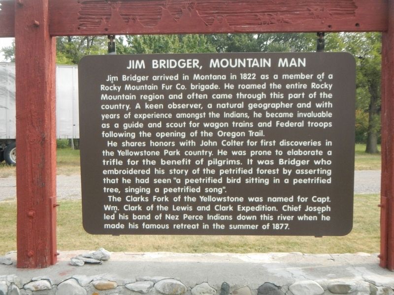
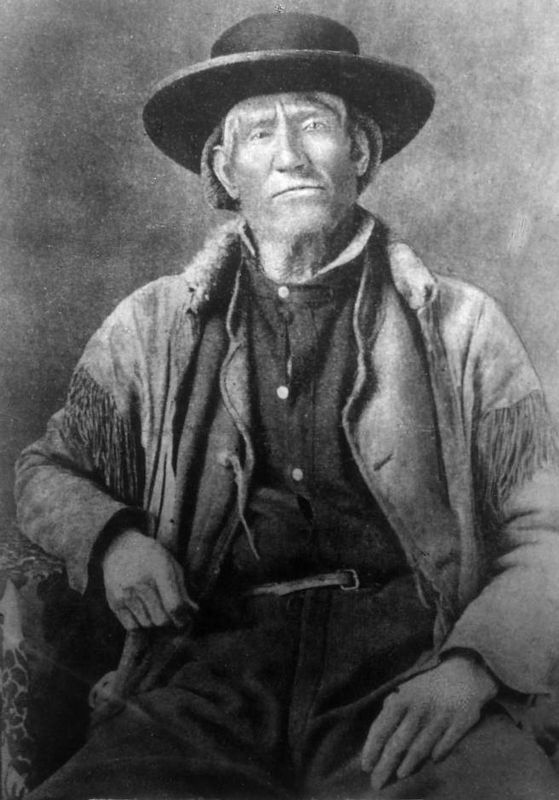
Jim Bridger, Mountain Man
Erected by Montana Department of Transportation.
Topics. This historical marker is listed in these topic lists: Exploration • Settlements & Settlers.
Location. 45° 17.461′ N, 108° 54.853′ W. Marker is in Bridger, Montana, in Carbon County. Marker is on South Main Street near Jim Bridger Road, on the left when traveling south. This marker is in a triangular park bounded by Sount Main Street, Jim Bridger Road and U.S. Highway 310. Touch for map. Marker is at or near this postal address: 501 South Main Street, Bridger MT 59014, United States of America. Touch for directions.
Other nearby markers. At least 8 other markers are within 7 miles of this marker, measured as the crow flies. A different marker also named Jim Bridger, Mountain Man (a few steps from this marker); Methodist Episcopal Church and Parsonage (approx. 0.3 miles away); The Corey House (approx. half a mile away); A Trail Woefully Hard to Travel: The Bridger Cut-Off (approx. 0.9 miles away); The Pryor Mountains and Raptor Country (approx. 3.2 miles away); The Pryor Mountains (approx. 3.3 miles away); John Gibson House (approx. 7 miles away); Samuel and Jennie Greenblatt Residence (approx. 7 miles away). Touch for a list and map of all markers in Bridger.
More about this marker. This marker replaces and earlier marker of the same name. There are some slight variations in the text between the two markers.
Also see . . .
1. A Map of the West in his Head: Jim Bridger, Guide to Plains and Mountains -- Wyoming Historical Soci. Bridger's unequaled knowledge of the northern Rocky Mountain region and upper Missouri River Basin aided two expeditions searching for transportation routes between 1856

Photographed By Barry Swackhamer, September 17, 2020
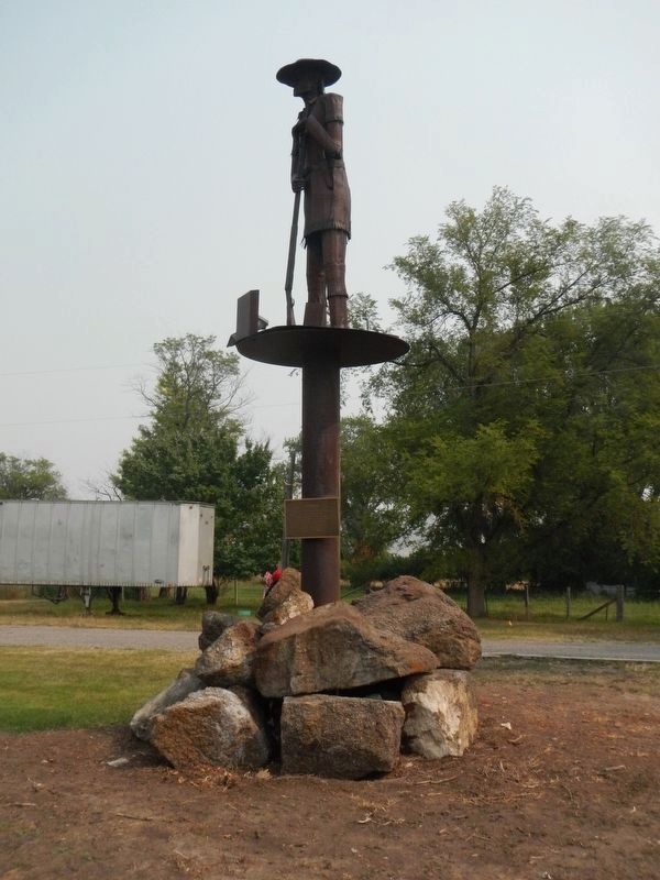
2. Statue of Jim Bridger
A plaque at the base of the statue reads:
Jim Bridger
The questing nature of the people of Montana is exemplified by the independent of Jim Bridger and the continuing pioneer sprit. This statue is erected by Westchem, the Bridger Lions Club, ad the People of Bridger and the Clarks Fork Valley as a monument.
Dedicated July 25, 1976
The questing nature of the people of Montana is exemplified by the independent of Jim Bridger and the continuing pioneer sprit. This statue is erected by Westchem, the Bridger Lions Club, ad the People of Bridger and the Clarks Fork Valley as a monument.
Dedicated July 25, 1976
2. Jim Bridger: Bighorn Canyon -- National Park Service. His real fame came two years later in 1825, when he was part of an expedition bringing $50,000 worth of beaver furs back from rendezvous. He left the expedition while on the Bad Pass and entered Bighorn Canyon. Fashioning a homemade raft out of driftwood, he then made one of the most miraculous trips in frontier history. Braving the turbulent waters of the Bighorn, he made the first recorded float of the river through the canyon. (Submitted on February 17, 2021, by Barry Swackhamer of Brentwood, California.)
3. Jim Bridger -- History To Go. In June 1847 Bridger had his first encounter with the Mormon pioneers near the mouth of the Little Sandy River. At this gathering, Bridger and Brigham Young discussed the merits of settling in the Salt Lake Valley. Also during this meeting Bridger drew his map on the ground for Young depicting the region with great accuracy and conveyed to the Mormon leader his misgivings regarding the agricultural productivity of the Salt Lake area. (Submitted on February 18, 2021, by Barry Swackhamer of Brentwood, California.)
Credits. This page was last revised on February 18, 2021. It was originally submitted on February 16, 2021, by Barry Swackhamer of Brentwood, California. This page has been viewed 345 times since then and 29 times this year. Photos: 1, 2, 3. submitted on February 16, 2021, by Barry Swackhamer of Brentwood, California.

