San Dimas in Los Angeles County, California — The American West (Pacific Coastal)
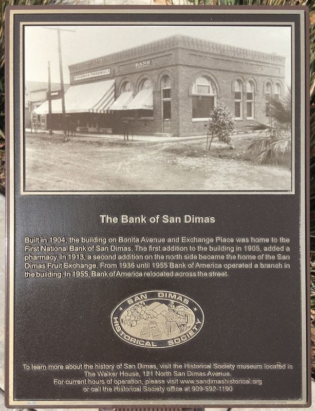
The Bank of San Dimas
Erected by San Dimas Historical Society.
Topics. This historical marker is listed in these topic lists: Industry & Commerce • Settlements & Settlers. A significant historical year for this entry is 1904.
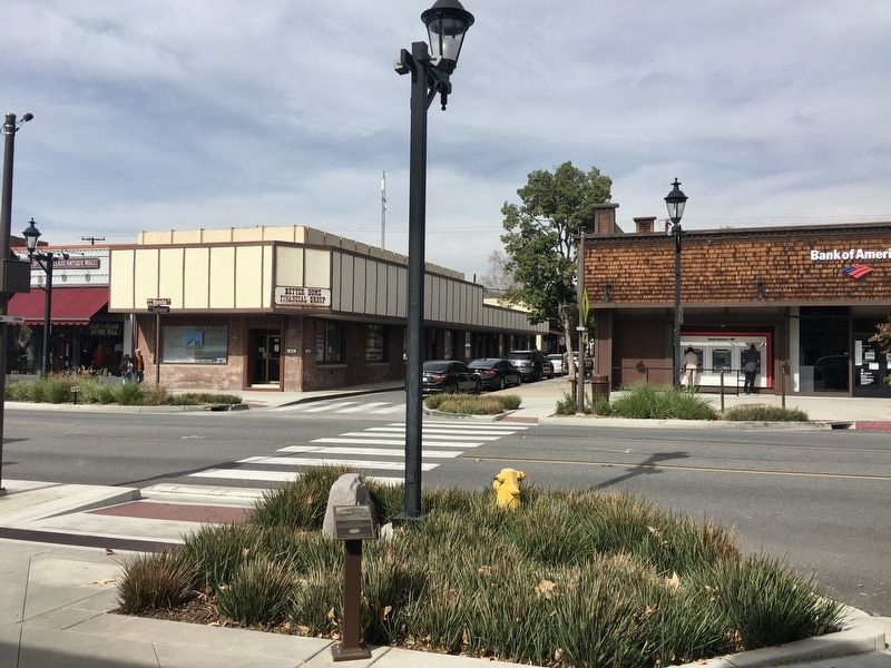
Location. 34° 6.396′ N, 117° 48.5′ W. Marker is in San Dimas, California, in Los Angeles County. Marker is on Bonita Avenue just east of Exchange Place, on the right when traveling east. Touch for map. Marker is at or near this postal address: 138 W Bonita Ave, San Dimas CA 91773, United States of America. Touch for directions.
Other nearby markers. At least 8 other markers are within walking distance of this marker. San Dimas Grain Company (a few steps from this marker); The Walterscheid Building (within shouting distance of this marker); San Dimas Fruit Exchange (within shouting distance of this marker); San Dimas Garage (within shouting distance of this marker); Foresman & Hoke Building (within shouting distance of this marker); Sipple Building (within shouting distance of this marker); Site of the San Dimas Telephone Exchange (within shouting distance of this marker); The Johnstone Building (about 400 feet away, measured in a direct line). Touch for a list and map of all markers in San Dimas.
Credits. This page was last revised on January 30, 2023. It was originally submitted on February 19, 2021, by Craig Baker of Sylmar, California. This page has been viewed 190 times since then and 16 times this year. Photos: 1, 2. submitted on February 19, 2021, by Craig Baker of Sylmar, California. • J. Makali Bruton was the editor who published this page.

