Sparks in Washoe County, Nevada — The American Mountains (Southwest)
Olinghouse
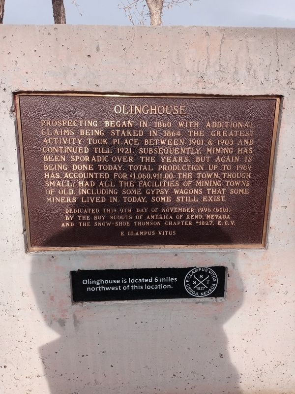
Prospecting began in 1860 with additional claims being staked in 1864. The greatest activity took place between 1901 and 1903 and continued until 1921. Subsequently, mining has been sporadic over the years, but again is being done today. Total production up to 1969 has accounted for$1,060,911.00. The town, though small, had all the facilities of mining towns of old, including gypsy wagons that some miners lived in. Today some still exist.
Dedicated this 9th day of November 1996 (6001) by the Boy Scouts of America of Reno, Nevada and The Snow-Shoe Thomson Chapter #1827, E.C.V.
E Clampus Vitus
Olinghouse is located 6 miles northwest of this location.
Erected 1996 by Boy Scouts of America and E. Clampus Vitus.
Topics and series. This historical marker is listed in this topic list: Industry & Commerce. In addition, it is included in the E Clampus Vitus series list. A significant historical year for this entry is 1901.
Location. 39° 36.181′ N, 119° 20.211′ W. Marker is in Sparks, Nevada, in Washoe County. Marker is on Interstate 80 east of Cantlon Drive, on the right when traveling west. Touch for map. Marker is in this post office area: Sparks NV 89434, United States of America. Touch for directions.
Other nearby markers. At least 6 other markers are within 6 miles of this marker, measured as the crow flies. The Dwight D. Eisenhower Highway (a few steps from this marker); Truckee Trail - River Crossings (within shouting distance of this marker); The First Drink of Cold Water (within shouting distance of this marker); Wadsworth (approx. 3.6 miles away); Rush to the River (approx. 5.3 miles away); America's First Transcontinental Highway (approx. 5.9 miles away).
Credits. This page was last revised on February 27, 2021. It was originally submitted on February 23, 2021, by Lance C Johnson of Sun Valley, Nevada. This page has been viewed 250 times since then and 28 times this year. Photo 1. submitted on February 23, 2021, by Lance C Johnson of Sun Valley, Nevada. • J. Makali Bruton was the editor who published this page.
Editor’s want-list for this marker. A wide view photo of the marker and the surrounding area together in context. • Can you help?
