Leesville in Gonzales County, Texas — The American South (West South Central)
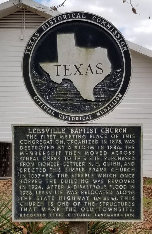
Leesville Baptist Church
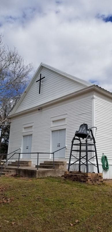
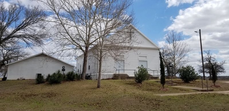
The first meeting place of this congregation, organized in 1875, was destroyed by a storm in 1886. The membership then moved across O'Neal Creek to this site, purchased from pioneer settler N.H. Guinn, and erected this simple frame church in 1887-88. The steeple which once topped the building was removed in 1924. After a disastrous flood in 1936, Leesville was relocated along the state highway (3/4 mi. W). This church is one of the structures that mark the old townsite.
Recorded Texas Historic Landmark - 1976
Erected 1976 by Texas Historical Commission. (Marker Number 3066.)
Topics. This historical marker is listed in this topic list: Churches & Religion. A significant historical year for this entry is 1875.
Location. 29° 24.432′ N, 97° 44.155′ W. Marker is in Leesville, Texas, in Gonzales County. Marker is at the intersection of Farm to Market Road 1682 and County Highway 155, on the right when traveling east on Highway 1682. The marker is located on the north side of the Church around some bushes. Touch for map. Marker is at or near this postal address: 6055 FM 1682, Leesville TX 78122, United States of America. Touch for directions.
Other nearby markers. At least 8 other markers are within 7 miles of this marker, measured as the crow flies. Leesville School (within shouting distance of this marker); Rev. Alejo Hernández (about 300 feet away, measured in a direct line); Gonzales - San Antonio Road (approx. 2 miles away); 1835 Attack at Sandies Water Hole (approx. 2 miles away); Dewville United Methodist Church (approx. 4.8 miles away); Sandies Chapel Cemetery (approx. 4.9 miles away); Sandies-Dewville Community (approx. 4.9 miles away); El Capote Ranch (approx. 6.6 miles away). Touch for a list and map of all markers in Leesville.
Also see . . . Leesville, TX.
The town was first named Capote, after the Capote Hills. In the late 1860s Sylvester A. Hubbard built an ox-powered treadmill to grind corn and saw lumber. About 1868 Daniel Brown and his brother opened the first general merchandise store at the site. A brick kiln and a saddletree and stirrup factory also began operation. Between 1868 and 1887 Newburn H. Guinn divided land on the west bank of the creek into town lots and sold them to various businesses. About 1870 he named the community Leesburg, in honor of his daughter, Lee. Source: The Handbook of Texas(Submitted on February 25, 2021, by James Hulse of Medina, Texas.)
Credits. This page was last revised on February 25, 2021. It was originally submitted on February 24, 2021, by James Hulse of Medina, Texas. This page has been viewed 199 times since then and 16 times this year. Photos: 1, 2, 3. submitted on February 25, 2021, by James Hulse of Medina, Texas.


