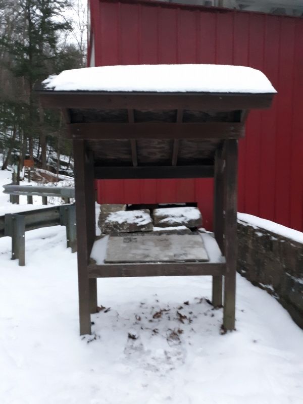
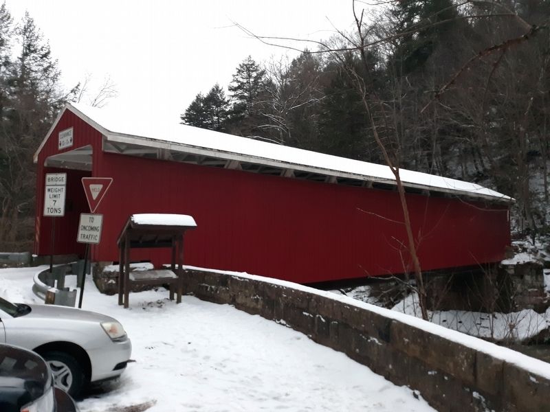
Covered Bridge
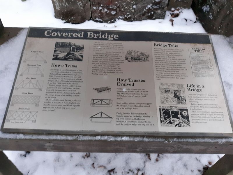
This bridge is one of the longest of four
Howe truss bridges left in Pennsylvania.
William Howe patented his design in
1840, His was the first to use iron with
wood and was the forerunner of all-iron
bridges. Most of the railroad bridges built
in the late 1800s used Howe trusses.
Howe's design allowed builders to use
green wood; they could adjust the iron
rods with turnbuckles as the wood
seasoned or shrank. Builders returned to
the bridge a year after building to tune-up the spans.
Howe's design made factory production
possible. A foundry in New England produced iron rods, nuts, and Howe's patent
angle blocks. Almost any good wood
could be used.
"We saw some men today, mending the roads-I did not think a Pennsylvanian ever touched a road or made a bridge, for we are obliged to ride thro' every stream we come to -"
Margaret VanHorn Dwight, 1810
Pennsylvania's pioneers urgently
needed bridges. High water made even
the smallest streams risky crossings.
Bridges, and ways to build them, evolved
rapidly. Bridge-builders used the cheapest
and most abundant material-wood.
Why cover a wooden bridge? The
answer is to protect the bridge's supporting structure - its sides or trusses -
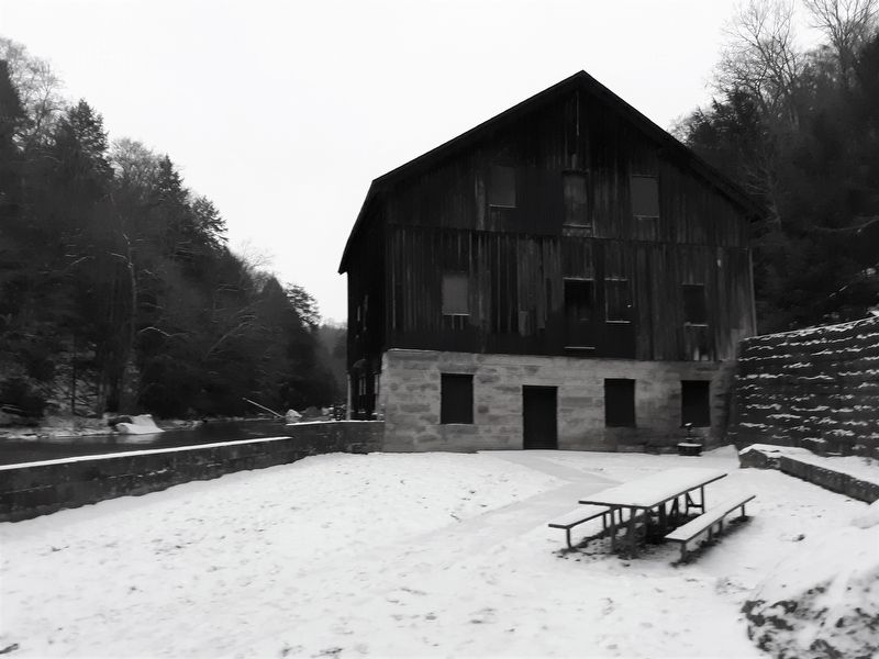
from rot. It works; this bridge has been
standing since 1874.
How Trusses Evolved
The first wooden bridges were two stringers aid across a creek. However, they could only be as long as the trees were tall and couldn't support much weight.
Next, builders added a triangle to support the stringers. This bridge often washed out in ice and high water.
Finally, builders discovered that the triangle supported the bridge, whether on top or on bottom. All bridges use triangles in one form or another to support the bridge's weight and any load on it.
Bridge Tolls
Most bridges were privately built to make
money for their owners. Governments
were not yet in the bridge-building
business. Some millers built bridges to
provide access to their mills.
Bridge owners gave doctors, clergy and
large families discount rates. For church-goers on Sundays, toll-takers waived tolls
and left shoe cloths at either end so
people could wipe dust from their shoes.
Mill-owned bridges didn't charge tolls for
those hauling grain to the mill.
Charge accounts were common since
many people carried no money. Farmers
kept tallies scratched on their wagon
seats.
Life in a
Bridge
Little-used bridges were shelters for
town meetings, church services, and
rallies. All bridges were used for
advertising.
Rafters were great for acrobatic
youngsters. They also occasionally harbored robbers.
Most
Topics and series. This historical marker is listed in these topic lists: Architecture • Bridges & Viaducts. In addition, it is included in the Covered Bridges series list. A significant historical year for this entry is 1840.
Location. 40° 57.175′ N, 80° 10.205′ W. Marker is in McConnell's Mill, Pennsylvania, in Lawrence County. Marker is at the intersection of N. County Trail and McConnell's Mill Road, on the right when traveling south on N. County Trail. On the grounds of the McConnell's Mill State Park. Touch for map. Marker is in this post office area: Portersville PA 16051, United States of America. Touch for directions.
Other nearby markers. At least 8 other markers are within 10 miles of this marker, measured as the crow flies. Wurtemburg Veterans Memorial (approx. 7.3 miles away); George Edward Waddell (approx. 7˝ miles away); Lewis Robert "Hack" Wilson (approx. 7.9 miles away); Helling Stadium (approx. 8.1 miles away); In Memory of Charles Follette Jr. (approx. 8.1 miles away); Seamless Tube Industry (approx. 9.1 miles away); Warner Brothers' First Theater (approx. 9.6 miles away); Alumni Veterans Memorial (approx. 9.7 miles away).
Also see . . .
1. McConnell's Mill. (Submitted on December 29, 2020, by Craig Doda of Napoleon, Ohio.)
2. McConnell's Mill Covered Bridge. (Submitted on December 29, 2020, by Craig Doda of Napoleon, Ohio.)
Credits. This page was last revised on March 1, 2021. It was originally submitted on December 29, 2020, by Craig Doda of Napoleon, Ohio. This page has been viewed 204 times since then and 10 times this year. Last updated on February 27, 2021, by Carl Gordon Moore Jr. of North East, Maryland. Photos: 1, 2, 3, 4, 5. submitted on December 29, 2020, by Craig Doda of Napoleon, Ohio. • Bill Pfingsten was the editor who published this page.
