Near La Vernia in Wilson County, Texas — The American South (West South Central)
Cibolo Crossing on the Gonzales Road
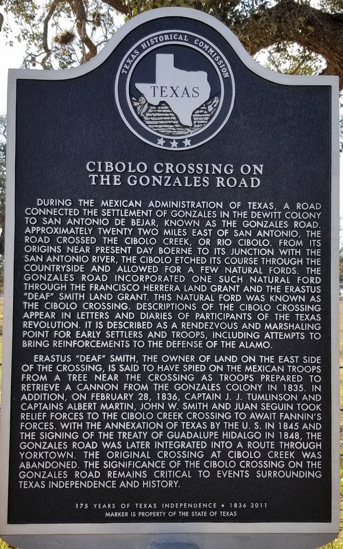
During the Mexican Administration of Texas, a road connected the settlement of Gonzales in the DeWitt Colony to San Antonio de Bexar, known as the Gonzales Road approximately twenty two miles east of San Antonio, the road crossed the Cibolo Creek, or Rio Cibolo. From its origins near present day Boerne to its junction with the San Antonio River, the Cibolo etched its course through the countryside and allowed for a few natural fords. The Gonzales Road incorporated one such natural ford through the Francisco Herrera Land Grant and the Erastus "Deaf" Smith Land Grant this natural ford was known as the Cibolo Crossing. Descriptions of the Cibolo Crossing appear in letters and diaries of participants of the Texas Revolution. It is described as a rendezvous and marshaling point for early settlers and troops, including attempts to bring reinforcements to the defense of the Alamo.
Erastus "Deaf" Smith, the owner of land on the east side of the crossing, is said to have spied on the Mexican troops from a tree near the crossing as troops prepared to retrieve a cannon from the Gonzales Colony in 1835. In addition, on February 28, 1836, Captain J.J. Tumlinson and Captains Albert Martin, John W. Smith and Juan Seguin took relief forces to the Cibolo Creek Crossing to await Fannin's forces. With the annexation of Texas by the U.S. in 1845 and the signing of the Treaty of Guadalupe Hidalgo in 1848, the Gonzales Road was later integrated into a route through Yorktown. The original crossing at Cibolo Creek was abandoned. The significance of the Cibolo Crossing on the Gonzales Road remains critical to events surrounding Texas Independence and history.
175 years of Texas Independence 1836 2011
Erected 2011 by Texas Historical Commission. (Marker Number 16912.)
Topics. This historical marker is listed in these topic lists: Bridges & Viaducts • War, Texas Independence. A significant historical date for this entry is February 28, 1836.
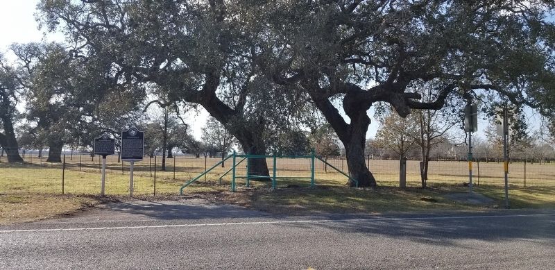
Location. 29° 22.329′ N, 98° 5.994′ W. Marker is near La Vernia, Texas, in Wilson County. Marker is on Farm to Market Road 775, 0.3 miles south of Elm Country Drive (County Highway 340), on the left when traveling north. Touch for map. Marker is in this post office area: La Vernia TX 78121, United States of America. Touch for directions.
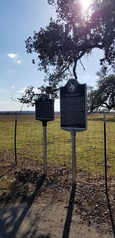
Other nearby markers. At least 8 other markers are within 2 miles of this marker, measured as the crow flies. Alamo Survivor (here, next to this marker); Concrete Cemetery (approx. 0.6 miles away); Rector Chapel Cemetery (approx. one mile away); Immanuel Lutheran Church (approx. 1.2 miles away); Old Chihuahua Road (approx. 1˝ miles away); La Vernia (approx. 1˝ miles
away); Suttles Pottery (approx. 1˝ miles away); Rector Chapel Bell (approx. 1˝ miles away). Touch for a list and map of all markers in La Vernia.
Credits. This page was last revised on February 28, 2021. It was originally submitted on February 28, 2021, by James Hulse of Medina, Texas. This page has been viewed 409 times since then and 58 times this year. Photos: 1, 2, 3. submitted on February 28, 2021, by James Hulse of Medina, Texas.


