Lazbuddie in Parmer County, Texas — The American South (West South Central)
Lazbuddie
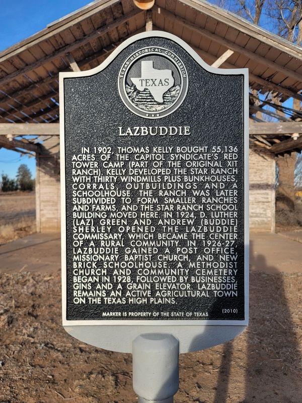
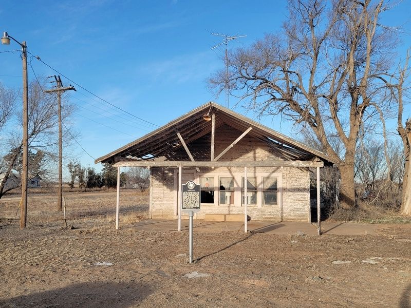
In 1902, Thomas Kelly bought 55,136 acres of the capitol syndicate’s Red Tower Camp (part of the original XIT Ranch). Kelly developed the Star Ranch with thirty windmills plus bunkhouses, corrals, outbuildings and a schoolhouse. The ranch was later subdivided to form smaller ranches and farms, and the Star Ranch School building moved here. In 1924, D. Luther (Laz) Green and Andrew (Buddie) Sherley opened the Lazbuddie commissary, which became the center of a rural community. In 1926-27, Lazbuddie gained a post office, Missionary Baptist Church, and new brick schoolhouse. A Methodist Church and community cemetery began in 1928, followed by businesses, gins and a grain elevator. Lazbuddie remains an active agricultural town on the Texas high plains.
Erected 2010 by Texas Historical Commission. (Marker Number 16580.)
Topics. This historical marker is listed in this topic list: Settlements & Settlers. A significant historical year for this entry is 1902.
Location. 34° 23.196′ N, 102° 36.698′ W. Marker is in Lazbuddie, Texas, in Parmer County. Marker is on Farm to Market Road 1172, 0.1 miles north of Ranch to Market Road 145, on the left when traveling north. Touch for map. Marker is in this post office area: Lazbuddie TX 79053, United States of America. Touch for directions.
Other nearby markers. At least 8 other markers are within 13 miles of this marker, measured as the crow flies. Big Square Community (approx. 6˝ miles away); Old Hurley (approx. 10.6 miles away); Bailey County Cemetery (approx. 11.2 miles away); Harden A. Douglass (approx. 11.3 miles away); The J. W. Carter Family and the 7-Up Ranch (approx. 11.4 miles away); Spring Lake (approx. 12.4 miles away); First Irrigation Well in Lamb County (approx. 12˝ miles away); Old Muleshoe Ranch Cookhouse (approx. 12.8 miles away).
Credits. This page was last revised on February 28, 2021. It was originally submitted on February 28, 2021, by Allen Lowrey of Amarillo, Texas. This page has been viewed 358 times since then and 65 times this year. Photos: 1, 2. submitted on February 28, 2021, by Allen Lowrey of Amarillo, Texas. • J. Makali Bruton was the editor who published this page.

