Near Sundown in Hockley County, Texas — The American South (West South Central)
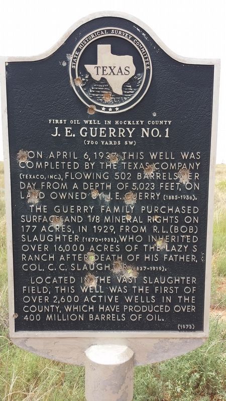
First Oil Well in Hockley County
On April 6, 1937, this well was completed by the Texas Company (Texaco, Inc.), flowing 502 barrels per day from a depth of 5,023 feet, on land owned by J. E. Guerry (1885-1956). The Guerry family purchased surface and 1/8 mineral rights on 127 acres, in 1929, from R. L. (Bob) Slaughter (1870-1938), who inherited over 160,000 acres of the Lazy S Ranch after death of his father, Col. C. C. Slaughter (1837-1919). Located in the vast Slaughter field, this well was the first of over 2,600 active wells in the county, which have produced over 400 million barrels of oil.
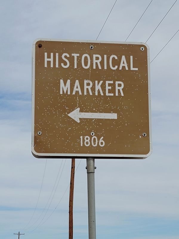
Erected 1973 by Texas Historical Commission. (Marker Number 1806.)
Topics. This historical marker is listed in this topic list: Industry & Commerce.
Location. Marker is missing. It was located near 33° 25.53′ N, 102° 29.407′ W. Marker was near Sundown, Texas, in Hockley County. Marker could be reached from Farm to Market Road 303, 2.1 miles south of Highway 301, on the left when traveling north. Touch for map. Marker was in this post office area: Sundown TX 79372, United States of America. Touch for directions.
Other nearby markers. At least 5 other markers are within 14 miles of this location, measured as the crow flies. City of Sundown Cemetery (approx. 2.4 miles away); Hockley County Cemetery (approx. 12.7 miles away); Fifth Street Missionary Baptist Church (approx. 12.9 miles away); City of Levelland (approx. 12.9 miles away); Former Whiteface Motel (approx. 14 miles away).
Regarding First Oil Well in Hockley County. The marker's text is from the Texas Historic Sites Atlas at https://atlas.thc.texas.gov/.
Credits. This page was last revised on January 22, 2023. It was originally submitted on February 28, 2021, by Allen Lowrey of Amarillo, Texas. This page has been viewed 529 times since then and 105 times this year. Photos: 1. submitted on January 21, 2023, by Kathy PHILLIPS of Boise, Idaho. 2. submitted on February 28, 2021, by Allen Lowrey of Amarillo, Texas. • J. Makali Bruton was the editor who published this page.
Editor’s want-list for this marker. A wide view photo of the marker and the surrounding area together in context or a photo of the surrounding area of the marker's previous location. • Can you help?

